


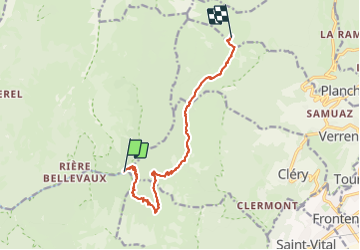

13.1 km | 24 km-effort

User GUIDE


FREE GPS app for hiking
 SityTrail
IGN / Geographical institutes
SityTrail World
The world is yours!
Trail Walking of 11.3 km to be discovered at Auvergne-Rhône-Alpes, Savoy, Jarsy. This trail is proposed by nadd73.
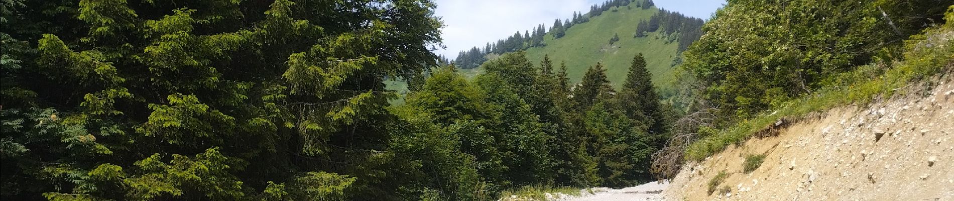
j'ai choisi cet itinéraire assez long mais avec un sac lourd j'ai préféré.
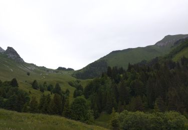
Bivouac vers le chalet de Drison
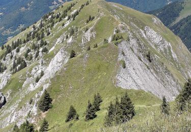
Attention 4patous


Walking
Walking

Walking

Horseback riding

Walking

Walking

Walking

Touring skiing
Walking