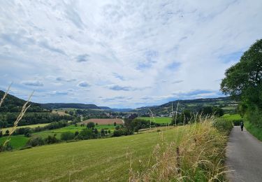
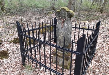
Trail Walking Bettendorf - 2023-06-19_15h07m20_eislek-pad-gilsdorf-1 - Photo

2023-06-19_15h07m20_eislek-pad-gilsdorf-1

© OpenStreetMap contributors
Length
Length
7.6 km
Max alt
Max alt
359 m
Uphill gradient
Uphill gradient
261 m
Km-Effort
Km-Effort  
11.1 km
Min alt
Min alt
192 m
Downhill gradient
Downhill gradient
261 m
Boucle
Boucle
Yes
Creation date :
2023-06-19 13:07:20.282
Updated on :
2023-06-19 13:08:45.831

(0 Reviews)

Walking
Walking
2h31
Difficulty : Medium

Scan this QR Code to open this trail in the SityTrail application

FREE GPS app for hiking

Logo SityTrail SityTrail

IGN / Geographical institutes

Download SityTrail from the App Store Download SityTrail from Google Play

Logo SityTrail SityTrail World

The world is yours!

Download SityTrail from the App Store Download SityTrail from Google Play Download SityTrail on Huawei AppGallery

About

Trail Walking of 7.6 km to be discovered at Unknown, Canton Diekirch, Bettendorf. This trail is proposed by mumu.larandonneuse.

Description

• Vers la carrière cachée •
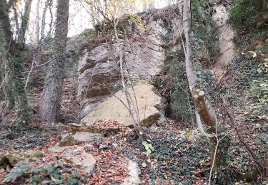
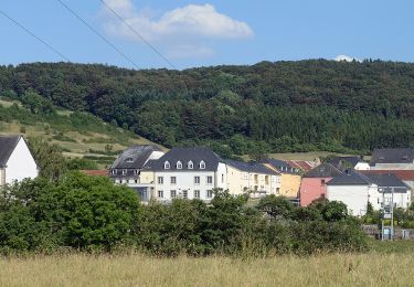
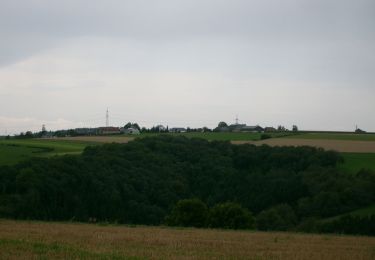
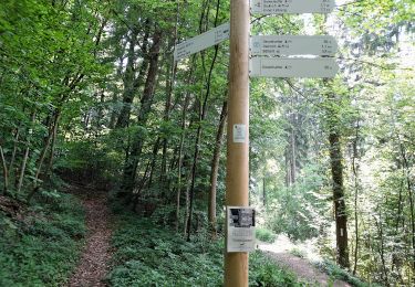
Vous sortez de Gilsdorf, le long des champs et jusqu'à une vue imprenable sur le village, à travers la forêt de hêtres et puis tout à coup vous êtes au milieu de la carrière de Schoofsbësch. Ce lieu caché, entouré par la forêt, invite à la découverte et à la flânerie, vous offrant l'endroit idéal pour un pique-nique avant de poursuivre la randonnée.
ℹ️ www.visit-eislek.lu

Elevation profile

Positioning

Country:
Luxembourg
Region :
Unknown
Department/Province :
Canton Diekirch
Municipality :
Bettendorf
Location:
Unknown
Start:(UTM)
297467 ; 5527538 (32U) N.

Trails nearby

Trail Walking Bettendorf - 2022-09-22_13h06m23_t62862476_eislek pad bettendorf - Photo
Walking
GUIDE
mumu.larandonneuse

Walking

Medium
(1)
Bettendorf, Unknown, Canton Diekirch, Luxembourg
12.9 km | 17.1 km-effort
3h 52min
Yes
Trail Mountain bike Erpeldange-sur-Sûre - Pistes_VTT : Erpeldange VTT/MTB - Photo
Mountain bike
GUIDE+

Mountain bike

Very easy
(1)
Erpeldange-sur-Sûre, Unknown, Canton Diekirch, Luxembourg
21 km | 29 km-effort
Unknown
Yes
Trail On foot Vallée de l'Ernz - E8 - Ermsdorf - Photo
On foot
GUIDE+

On foot

Easy
Vallée de l'Ernz, Unknown, Canton Diekirch, Luxembourg
5.5 km | 6.9 km-effort
1h 34min
No
Trail On foot Bettendorf - Autopedestre Bettendorf 1 - Photo
On foot
GUIDE+

On foot

Easy
Bettendorf, Unknown, Canton Diekirch, Luxembourg
6.3 km | 8.2 km-effort
1h 51min
No
Trail On foot Vallée de l'Ernz - E9 - Ermsdorf - Photo
On foot
GUIDE+

On foot

Easy
Vallée de l'Ernz, Unknown, Canton Diekirch, Luxembourg
6.2 km | 8.1 km-effort
1h 50min
Yes
Trail On foot Vallée de l'Ernz - E6 - Ermsdorf - Photo
On foot
GUIDE+

On foot

Easy
Vallée de l'Ernz, Unknown, Canton Diekirch, Luxembourg
7.5 km | 11.2 km-effort
2h 32min
Yes
Trail On foot Tandel - Autopedestre Brandenbourg - Photo
On foot
GUIDE+

On foot

Easy
Tandel, Unknown, Canton Vianden, Luxembourg
6.4 km | 9 km-effort
2h 2min
Yes
Trail On foot Schieren - Fleche Bleu Schieren - Photo
On foot
GUIDE+

On foot

Easy
Schieren, Unknown, Canton Diekirch, Luxembourg
7.5 km | 10.4 km-effort
2h 21min
Yes
Trail On foot Diekirch - Fleche Bleu Diekirch II (ancien) - Photo
On foot
GUIDE+

On foot

Easy
Diekirch, Unknown, Canton Diekirch, Luxembourg
11.1 km | 14.8 km-effort
3h 21min
Yes


Close
My subscriptions