12 km | 14.4 km-effort
pommeuse
mimimartine
User
Length
18.8 km
Max alt
130 m
Uphill gradient
268 m
Km-Effort
22 km
Min alt
58 m
Downhill gradient
267 m
Boucle
Yes
Creation date :
2023-06-17 14:51:21.618
Updated on :
2023-06-17 14:51:56.846
5h05
Difficulty : Medium
FREE GPS app for hiking
About
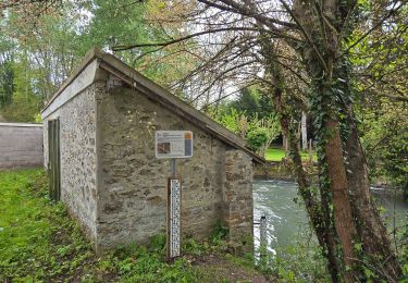
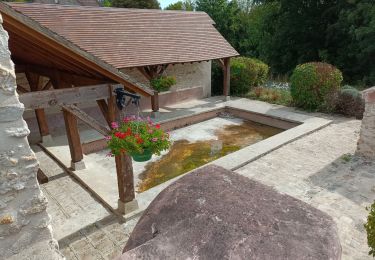
Trail On foot of 18.8 km to be discovered at Ile-de-France, Seine-et-Marne, Pommeuse. This trail is proposed by mimimartine.
Positioning
Country:
France
Region :
Ile-de-France
Department/Province :
Seine-et-Marne
Municipality :
Pommeuse
Location:
Unknown
Start:(Dec)
Start:(UTM)
499569 ; 5406119 (31U) N.
Comments
Trails nearby
Espace VTT FFC - Les Coteaux du Morin et de l'Aubetin - Circuit n° 15 - Saint...
Mountain bike
Medium
(1)
Saint-Augustin,
Ile-de-France,
Seine-et-Marne,
France
1h 0min
Yes
Les lavoirs de Pommeuse
On foot
Medium
Pommeuse,
Ile-de-France,
Seine-et-Marne,
France
22 km | 26 km-effort
5h 57min
Yes
Guérard
Walking
Difficult
Guérard,
Ile-de-France,
Seine-et-Marne,
France
15.4 km | 18.5 km-effort
4h 3min
Yes
2019-08-10_23h17m35_parcours_Hautefeuille
sport
Very easy
(1)
Hautefeuille,
Ile-de-France,
Seine-et-Marne,
France
15.3 km | 17.2 km-effort
Unknown
Yes
balade au départ de Pommeuse
Walking
Easy
Pommeuse,
Ile-de-France,
Seine-et-Marne,
France
31 km | 37 km-effort
3h 59min
No
CRAB ; Mouroux
Walking
Easy
Mouroux,
Ile-de-France,
Seine-et-Marne,
France
20 km | 25 km-effort
5h 18min
Yes
Faremoutiers
Walking
Easy
Faremoutiers,
Ile-de-France,
Seine-et-Marne,
France
22 km | 25 km-effort
5h 26min
Yes
pommeuse
Walking
Medium
Pommeuse,
Ile-de-France,
Seine-et-Marne,
France
17.9 km | 21 km-effort
4h 19min
Yes
M&R-121026 - LaCelle-ValléeMorin
Walking
Very easy
La Celle-sur-Morin,
Ile-de-France,
Seine-et-Marne,
France
18.6 km | 22 km-effort
4h 48min
Yes