


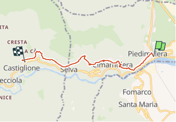


4.9 km | 21 km-effort


User GUIDE


FREE GPS app for hiking
 SityTrail
IGN / Geographical institutes
SityTrail World
The world is yours!
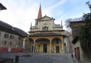
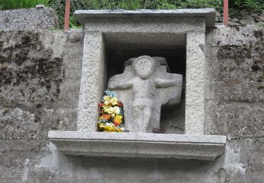
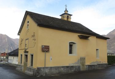
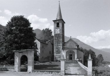
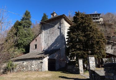
Trail Walking of 5.6 km to be discovered at Piemont, Verbano-Cusio-Ossola, Piedimulera. This trail is proposed by MicDul.


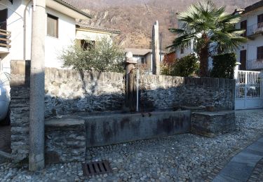
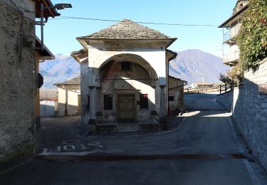
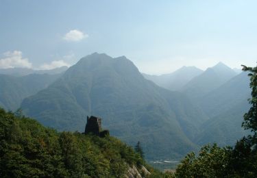
66 photos in total. Please click on a photo to see them all in the gallery.
On foot
On foot
On foot
On foot
On foot
On foot
On foot
On foot

On foot