


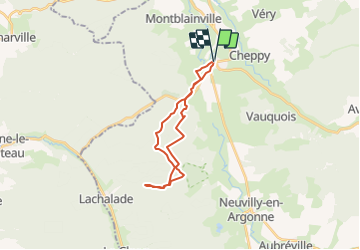

28 km | 35 km-effort


User


FREE GPS app for hiking
 SityTrail
IGN / Geographical institutes
SityTrail World
The world is yours!
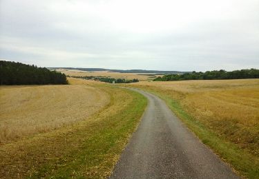
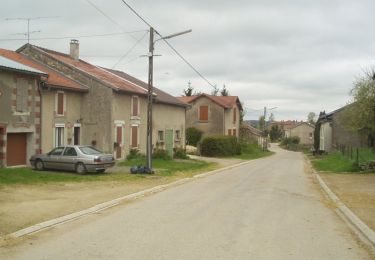
Trail On foot of 19.8 km to be discovered at Grand Est, Meuse, Varennes-en-Argonne. This trail is proposed by PascalBoutroue.
guerre 14-18
Walking
Cycle

Walking
Walking
Walking

Walking
Walking

Nordic walking