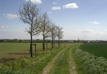
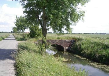
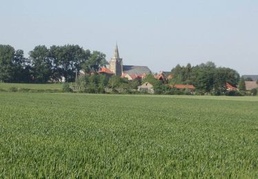
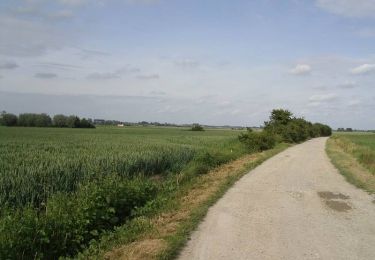
29 km | 31 km-effort
dricham
Benoît66
User
Length
68 km
Max alt
75 m
Uphill gradient
356 m
Km-Effort
72 km
Min alt
2 m
Downhill gradient
330 m
Boucle
No
Creation date :
2023-06-11 17:42:26.493
Updated on :
2023-06-11 17:42:46.95
4h23
Difficulty : Very difficult
FREE GPS app for hiking
About
Trail Road bike of 68 km to be discovered at Hauts-de-France, Nord, Drincham. This trail is proposed by Benoît66.
Positioning
Country:
France
Region :
Hauts-de-France
Department/Province :
Nord
Municipality :
Drincham
Location:
Unknown
Start:(Dec)
Start:(UTM)
451597 ; 5639605 (31U) N.
Comments
Trails nearby
Circuit du Pantgat - Bollezeele
Walking
Easy
Bollezeele,
Hauts-de-France,
Nord,
France
6.4 km | 7.1 km-effort
1h 40min
Yes
Circuit Colme et Watergangs - Pitgam
Walking
Medium
Pitgam,
Hauts-de-France,
Nord,
France
9.2 km | 9.5 km-effort
2h 19min
Yes
Au fil de l'eau : Gracht et Haute Colme - Looberghe
Walking
Difficult
Looberghe,
Hauts-de-France,
Nord,
France
12.6 km | 13 km-effort
3h 10min
Yes
Circuit du Nieuwland - Drincham
Walking
Medium
Drincham,
Hauts-de-France,
Nord,
France
12.5 km | 13.1 km-effort
3h 10min
Yes
Sentier de l'Eekhout Veld - Merckeghem
Walking
Medium
(1)
Merckeghem,
Hauts-de-France,
Nord,
France
7.3 km | 8.4 km-effort
2h 0min
Yes
Les Rives de l'Yser 3 - Bollezeele
Cycle
Medium
(1)
Bollezeele,
Hauts-de-France,
Nord,
France
39 km | 42 km-effort
3h 0min
Yes
Looberghe
Walking
Medium
Looberghe,
Hauts-de-France,
Nord,
France
9.2 km | 9.6 km-effort
2h 10min
Yes
Circuit du pantgat
Nordic walking
Easy
Bollezeele,
Hauts-de-France,
Nord,
France
6.5 km | 7.2 km-effort
1h 35min
Yes