6.9 km | 8.4 km-effort
seillons-aegens enr
gbardin
User
Length
11.5 km
Max alt
520 m
Uphill gradient
263 m
Km-Effort
15 km
Min alt
307 m
Downhill gradient
263 m
Boucle
Yes
Creation date :
2023-06-11 08:02:43.962
Updated on :
2023-06-11 12:35:41.727
4h32
Difficulty : Difficult
FREE GPS app for hiking
About
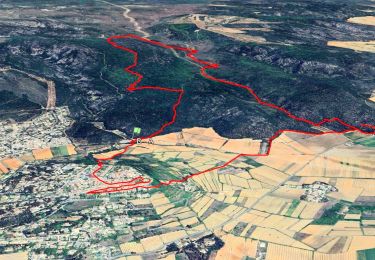
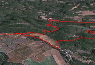
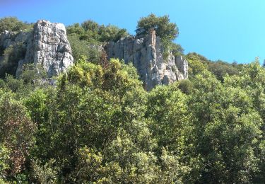
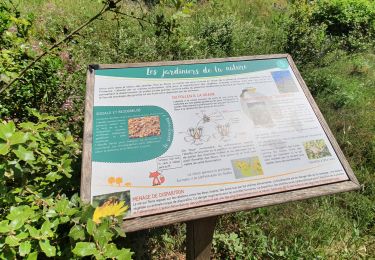
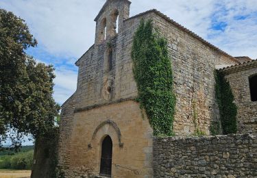
Trail Walking of 11.5 km to be discovered at Provence-Alpes-Côte d'Azur, Var, Seillons-Source-d'Argens. This trail is proposed by gbardin.
Positioning
Country:
France
Region :
Provence-Alpes-Côte d'Azur
Department/Province :
Var
Municipality :
Seillons-Source-d'Argens
Location:
Unknown
Start:(Dec)
Start:(UTM)
733390 ; 4820813 (31T) N.
Comments
Trails nearby
BRUE AURIAC AUTOUR PRIEURÉ POUR DEBUTANT
Nordic walking
Medium
(1)
Brue-Auriac,
Provence-Alpes-Côte d'Azur,
Var,
France
2h 14min
Yes
BRUE AURIAC AUTOUR PRIEURÉ
Nordic walking
Medium
(1)
Brue-Auriac,
Provence-Alpes-Côte d'Azur,
Var,
France
10.3 km | 13.1 km-effort
2h 14min
Yes
Trace_Seillons
Walking
Medium
Seillons-Source-d'Argens,
Provence-Alpes-Côte d'Azur,
Var,
France
14.3 km | 19.8 km-effort
6h 0min
Yes
Trace_Brue-Auriac
Walking
Easy
Brue-Auriac,
Provence-Alpes-Côte d'Azur,
Var,
France
16.4 km | 21 km-effort
6h 0min
Yes
Rocher des abeilles-02-02-2022
Walking
Medium
Seillons-Source-d'Argens,
Provence-Alpes-Côte d'Azur,
Var,
France
23 km | 30 km-effort
5h 56min
Yes
SEILLONS SUR ARGENS - SOURCE DE L'ARGENS
Walking
Medium
Seillons-Source-d'Argens,
Provence-Alpes-Côte d'Azur,
Var,
France
15 km | 20 km-effort
5h 33min
Yes
Seillons source d'Argens... rocher des abeilles... la bastidasse
Walking
Easy
(1)
Seillons-Source-d'Argens,
Provence-Alpes-Côte d'Azur,
Var,
France
13.9 km | 16.9 km-effort
3h 25min
Yes
seillons source d"argent
Walking
Medium
Seillons-Source-d'Argens,
Provence-Alpes-Côte d'Azur,
Var,
France
13.8 km | 16.8 km-effort
4h 42min
Yes
seillons vallon des abeilles
Walking
Easy
Seillons-Source-d'Argens,
Provence-Alpes-Côte d'Azur,
Var,
France
11.8 km | 15.6 km-effort
3h 32min
Yes