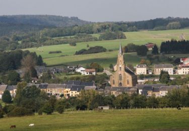
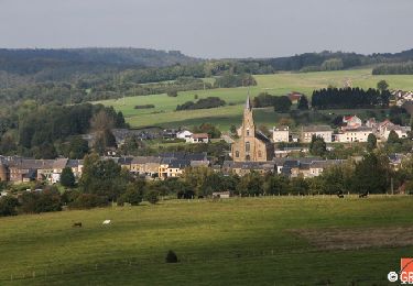
29 km | 35 km-effort
Laclaireau 2
© OpenStreetMap contributors
Walking
2h30
Difficulty : Medium
Length
8.3 km
Max alt
317 m
Uphill gradient
206 m
Km-Effort
11 km
Min alt
223 m
Downhill gradient
204 m
Boucle
Yes
Creation date :
2023-06-10 17:55:24.128
Updated on :
2023-06-10 17:56:08.139
2h30
Difficulty : Medium
FREE GPS app for hiking
About
Trail Walking of 8.3 km to be discovered at Wallonia, Luxembourg, Virton. This trail is proposed by Van de Woestyne Simon.
Positioning
Country:
Belgium
Region :
Wallonia
Department/Province :
Luxembourg
Municipality :
Virton
Location:
Ethe
Start:(Dec)
Start:(UTM)
687622 ; 5495963 (31U) N.
Comments
Trails nearby
RB-Lu-17_Ethe_via-var-1-et-2-et-3
Walking
Very easy
(3)
Virton,
Wallonia,
Luxembourg,
Belgium
7h 33min
Yes
T2019-06-16-16-47
Mountain bike
Easy
(1)
Virton,
Wallonia,
Luxembourg,
Belgium
21 km | 26 km-effort
1h 40min
Yes
GAUME Balade naturelle et historique
Walking
Very easy
(1)
Virton,
Wallonia,
Luxembourg,
Belgium
5.2 km | 6.8 km-effort
1h 16min
Yes
RB-Lu-17_Ethe_via-racc
Walking
Very easy
Virton,
Wallonia,
Luxembourg,
Belgium
15.6 km | 19.3 km-effort
4h 8min
Yes
RB-Lu-17_Ethe
Walking
Very easy
Virton,
Wallonia,
Luxembourg,
Belgium
22 km | 28 km-effort
5h 55min
Yes
Buzenol - Circuit Natura 2000, des sites qui valent le détour - Lx17
Walking
Medium
(1)
Virton,
Wallonia,
Luxembourg,
Belgium
13.5 km | 16.7 km-effort
2h 0min
Yes
Autour de Tintigny - Balade_VTT_54Kms
Mountain bike
Very difficult
Virton,
Wallonia,
Luxembourg,
Belgium
54 km | 64 km-effort
4h 25min
Yes
Monquintin - Balade_VTT_22Kms
Mountain bike
Medium
Virton,
Wallonia,
Luxembourg,
Belgium
22 km | 26 km-effort
1h 48min
Yes
Orval - Balade_VTT_50Kms
Mountain bike
Very difficult
Virton,
Wallonia,
Luxembourg,
Belgium
50 km | 61 km-effort
4h 15min
No