


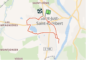

11.4 km | 15.2 km-effort


User


FREE GPS app for hiking
 SityTrail
IGN / Geographical institutes
SityTrail World
The world is yours!
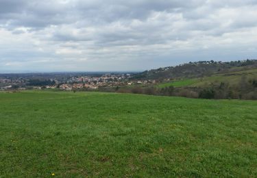
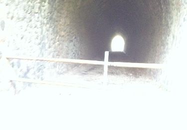
Trail Walking of 6.6 km to be discovered at Auvergne-Rhône-Alpes, Loire, Saint-Just-Saint-Rambert. This trail is proposed by gannet1.
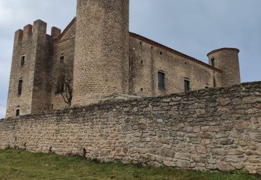
Eglise romane et vieilles maisons typiques du Forez. On longe une partie du canal du Forez construit pour l'irrigation de la plaine.
Testé par le groupe de marche du Forez
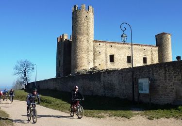
Walking

Mountain bike
Horseback riding
Walking
Walking
Walking
Mountain bike
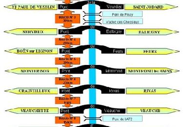
Mountain bike
Mountain bike