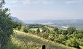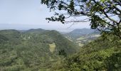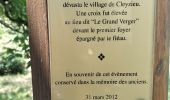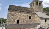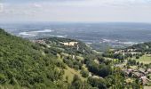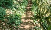

01-soudon-cleyzieu-20km825m

SyMA
User

Length
20 km

Max alt
983 m

Uphill gradient
825 m

Km-Effort
31 km

Min alt
485 m

Downhill gradient
826 m
Boucle
Yes
Creation date :
2023-06-08 07:07:21.927
Updated on :
2023-06-08 17:32:46.323
7h02
Difficulty : Difficult

FREE GPS app for hiking
About
Trail Walking of 20 km to be discovered at Auvergne-Rhône-Alpes, Ain, Souclin. This trail is proposed by SyMA.
Description
Départ petit parking entrée de Soudon
belle rando ombragée et en altitude quasi totalement , à éviter si orages ou grosses pluies car peut être glissant.
possibilité d'abri pique-nique dans Cleyzieu
Positioning
Country:
France
Region :
Auvergne-Rhône-Alpes
Department/Province :
Ain
Municipality :
Souclin
Location:
Unknown
Start:(Dec)
Start:(UTM)
688156 ; 5082355 (31T) N.
Comments
Trails nearby

20140331 Tour de Saint Sorlin


Walking
Easy
(1)
Saint-Sorlin-en-Bugey,
Auvergne-Rhône-Alpes,
Ain,
France

7.7 km | 8.5 km-effort
1h 41min
Yes
01 st sorlin en bugey


Walking
Easy
Souclin,
Auvergne-Rhône-Alpes,
Ain,
France

9.5 km | 14.2 km-effort
2h 41min
No
18 novembre 2022 Sault Brenat


Walking
Medium
Sault-Brénaz,
Auvergne-Rhône-Alpes,
Ain,
France

20 km | 31 km-effort
8h 8min
Yes
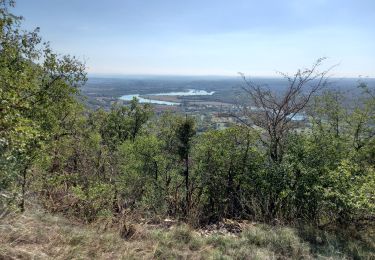
les balcons de souclin hameau de buis


Walking
Medium
(1)
Villebois,
Auvergne-Rhône-Alpes,
Ain,
France

16.1 km | 24 km-effort
5h 3min
Yes
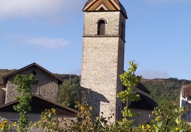
01-Sault-Brenaz-18.5km-740m-sept22


Walking
Medium
Sault-Brénaz,
Auvergne-Rhône-Alpes,
Ain,
France

18.5 km | 28 km-effort
5h 57min
Yes
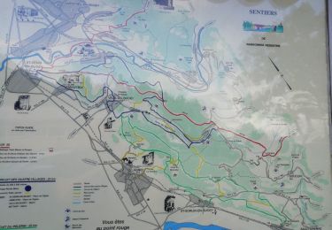
01-St-Sorlin-Bugey-17km-680m-aout21


Walking
Medium
Saint-Sorlin-en-Bugey,
Auvergne-Rhône-Alpes,
Ain,
France

16.6 km | 26 km-effort
4h 5min
Yes
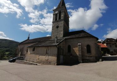
Cascade de Luiset /Rocher de Cuny


Walking
Medium
(1)
Bénonces,
Auvergne-Rhône-Alpes,
Ain,
France

17 km | 26 km-effort
4h 36min
Yes
Dornan et ses grottes


Walking
Medium
Torcieu,
Auvergne-Rhône-Alpes,
Ain,
France

5.9 km | 9.7 km-effort
2h 12min
Yes
col de portes


Horseback riding
Medium
Bénonces,
Auvergne-Rhône-Alpes,
Ain,
France

39 km | 61 km-effort
4h 11min
No


 SityTrail


