8 km | 11.8 km-effort
Aigles
jmgeffrin
User
Length
2.6 km
Max alt
1905 m
Uphill gradient
12 m
Km-Effort
4.2 km
Min alt
1473 m
Downhill gradient
426 m
Boucle
No
Creation date :
2023-06-08 12:20:40.718
Updated on :
2023-06-08 13:38:48.399
1h17
Difficulty : Very difficult
FREE GPS app for hiking
About
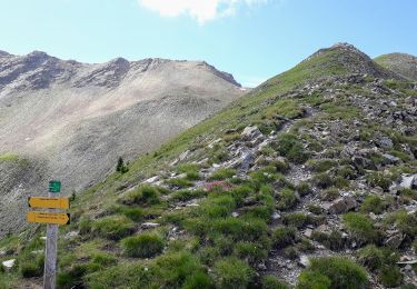
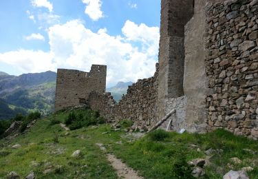
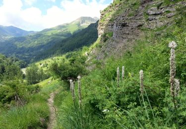
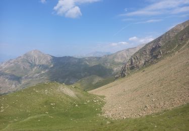
Trail Donkey back riding of 2.6 km to be discovered at Provence-Alpes-Côte d'Azur, Hautes-Alpes, Réallon. This trail is proposed by jmgeffrin.
Positioning
Country:
France
Region :
Provence-Alpes-Côte d'Azur
Department/Province :
Hautes-Alpes
Municipality :
Réallon
Location:
Unknown
Start:(Dec)
Start:(UTM)
289202 ; 4945469 (32T) N.
Comments
Trails nearby
le fort de Réallon
Walking
Very easy
(1)
Réallon,
Provence-Alpes-Côte d'Azur,
Hautes-Alpes,
France
2h 11min
Yes
Col de Rouannette 22/07/18
Walking
Medium
Orcières,
Provence-Alpes-Côte d'Azur,
Hautes-Alpes,
France
9.3 km | 20 km-effort
3h 56min
Yes
Embrunais - Réallon Le Fort - 3.2km 200m 1h10 - 2018 06 28 - public
Walking
Very easy
Réallon,
Provence-Alpes-Côte d'Azur,
Hautes-Alpes,
France
3.1 km | 5.7 km-effort
1h 20min
Yes
Embrunais - Réallon Les Gourniers Chapelle St-Marcellin - 5.6km 300m 2h00 - 2...
Walking
Medium
Réallon,
Provence-Alpes-Côte d'Azur,
Hautes-Alpes,
France
5.5 km | 9.4 km-effort
2h 35min
Yes
La recula 31.12.12
Snowshoes
Medium
(3)
Orcières,
Provence-Alpes-Côte d'Azur,
Hautes-Alpes,
France
11.1 km | 25 km-effort
4h 40min
Yes
Col de la Coupa
Walking
Medium
Réallon,
Provence-Alpes-Côte d'Azur,
Hautes-Alpes,
France
11.4 km | 23 km-effort
4h 20min
Yes
Reallon - les Gourmiers via GR50 jusqu'à la cascade / retour via pont de Vil...
Walking
Easy
Réallon,
Provence-Alpes-Côte d'Azur,
Hautes-Alpes,
France
11.2 km | 17 km-effort
5h 41min
Yes
La cabane du pré d'Antony
Walking
Medium
Réallon,
Provence-Alpes-Côte d'Azur,
Hautes-Alpes,
France
13.2 km | 23 km-effort
4h 54min
Yes
Boucle "les Fouents"
Walking
Easy
Réallon,
Provence-Alpes-Côte d'Azur,
Hautes-Alpes,
France
7.1 km | 13.1 km-effort
2h 30min
Yes