


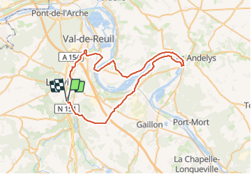

12 km | 14.7 km-effort

User


FREE GPS app for hiking
 SityTrail
IGN / Geographical institutes
SityTrail World
The world is yours!
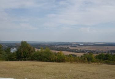
Trail Road bike of 59 km to be discovered at Normandy, Eure, Pinterville. This trail is proposed by jpbonnemains.
Randonnée sympa éviter le passage sur la route entre Saint-Étienne et le Vaudreuil. Mais à part ça superbe.
Déjeuner au théâtre du Moulin de Andée, accueil très sympa, menu 25 € entrée plat, fromage, dessert Evelyne.
Idéal pour reprendre la route ensuite ! ! !


Walking
Walking
Walking

Walking

Walking

Walking
Walking
Walking