


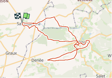

16.7 km | 21 km-effort


User


FREE GPS app for hiking
 SityTrail
IGN / Geographical institutes
SityTrail World
The world is yours!
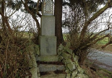
Trail Walking of 22 km to be discovered at Wallonia, Namur, Mettet. This trail is proposed by jeangulu.
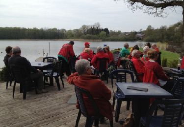
Organisateur : NA 036 _ LES SPIROUS DE JEMEPPE-SUR-SAMBRE.
- Marche philanthropique en faveur des handicapés du centre du jour << La Mouche >>.
Point de départ : Centre de jour << La Mouche d'Api >> _ Rue de la Chapelle 2 - 5640 - SAINT-GERARD.
Carte IGN : 53/2

Walking

Walking
Walking

Walking
Walking
Walking

Cycle
Walking
Walking