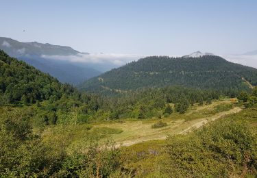
6.7 km | 12.3 km-effort
Trace Ferrieres G3 Guy
mitch1952
User
Length
7.9 km
Max alt
975 m
Uphill gradient
484 m
Km-Effort
14.3 km
Min alt
541 m
Downhill gradient
484 m
Boucle
Yes
Creation date :
2023-06-05 09:10:51.0
Updated on :
2023-06-05 12:39:41.498
3h27
Difficulty : Unknown
FREE GPS app for hiking
About
Trail Walking of 7.9 km to be discovered at Occitania, Hautespyrenees, Ferrières. This trail is proposed by mitch1952.
Positioning
Country:
France
Region :
Occitania
Department/Province :
Hautespyrenees
Municipality :
Ferrières
Location:
Unknown
Start:(Dec)
Start:(UTM)
722962 ; 4765593 (30T) N.
Comments
Trails nearby
SityTrail - Arbeost le tour des quartiers d'Arbeost fait
On foot
Easy
(1)
Arbéost,
Occitania,
Hautespyrenees,
France
Unknown
Yes
pic de Bazes
Walking
Medium
Aucun,
Occitania,
Hautespyrenees,
France
7.2 km | 12.6 km-effort
5h 19min
No
Ferrière
Walking
Very easy
Arbéost,
Occitania,
Hautespyrenees,
France
3.4 km | 5.7 km-effort
2h 1min
Yes
col de couraduque vers col de liar
Walking
Difficult
Aucun,
Occitania,
Hautespyrenees,
France
12.3 km | 17.9 km-effort
5h 6min
Yes
Le Pic du Monbula - Arthez d'Asson
Walking
Difficult
Asson,
New Aquitaine,
Pyrénées-Atlantiques,
France
11.3 km | 26 km-effort
6h 30min
Yes
Le Pic de Bazès
Walking
Difficult
Aucun,
Occitania,
Hautespyrenees,
France
6.1 km | 12.1 km-effort
1h 25min
Yes
G3arbeost le tour fait 2022
Walking
Very difficult
Arbéost,
Occitania,
Hautespyrenees,
France
7.1 km | 12.5 km-effort
4h 48min
Yes
FERRIERES la mine de Baburet 295 0542
Walking
Easy
Ferrières,
Occitania,
Hautespyrenees,
France
2.8 km | 4.8 km-effort
1h 2min
Yes
pic de Bazès
Walking
Easy
Aucun,
Occitania,
Hautespyrenees,
France
6.9 km | 13.2 km-effort
4h 27min
Yes