17.5 km | 30 km-effort
col de Peipin
CABERMAT
User
Length
12 km
Max alt
1063 m
Uphill gradient
372 m
Km-Effort
17 km
Min alt
710 m
Downhill gradient
372 m
Boucle
Yes
Creation date :
2023-06-04 06:48:02.002
Updated on :
2023-06-05 12:16:29.18
4h10
Difficulty : Difficult
FREE GPS app for hiking
About
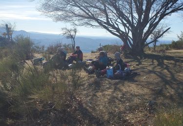
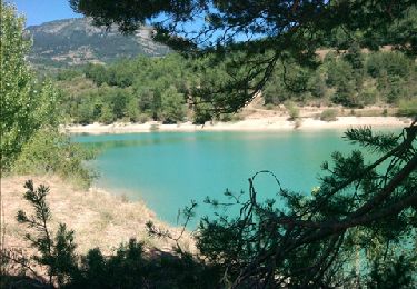
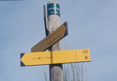
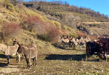
Trail Walking of 12 km to be discovered at Provence-Alpes-Côte d'Azur, Alpes-de-Haute-Provence, Thoard. This trail is proposed by CABERMAT.
Positioning
Country:
France
Region :
Provence-Alpes-Côte d'Azur
Department/Province :
Alpes-de-Haute-Provence
Municipality :
Thoard
Location:
Unknown
Start:(Dec)
Start:(UTM)
271126 ; 4891101 (32T) N.
Comments
Trails nearby
la Bigue par Thoard
Walking
Medium
(1)
Thoard,
Provence-Alpes-Côte d'Azur,
Alpes-de-Haute-Provence,
France
7h 43min
No
thoar courbon 1000m22kms
Walking
Medium
Thoard,
Provence-Alpes-Côte d'Azur,
Alpes-de-Haute-Provence,
France
22 km | 35 km-effort
8h 6min
Yes
Vaumuse St Joseph 900m 18kms
Walking
Medium
Thoard,
Provence-Alpes-Côte d'Azur,
Alpes-de-Haute-Provence,
France
17.7 km | 29 km-effort
7h 48min
Yes
COURBONS , Le tour du Rouveyret o
Walking
Difficult
Digne-les-Bains,
Provence-Alpes-Côte d'Azur,
Alpes-de-Haute-Provence,
France
15.7 km | 23 km-effort
3h 30min
Yes
apiculteur août 2012
Walking
Easy
Thoard,
Provence-Alpes-Côte d'Azur,
Alpes-de-Haute-Provence,
France
5.1 km | 6.3 km-effort
Unknown
No
THOARD . CHAPELLE S MADELEINE . CARRIERE DE GYPSE O L S
Walking
Medium
Thoard,
Provence-Alpes-Côte d'Azur,
Alpes-de-Haute-Provence,
France
9.7 km | 16.3 km-effort
3h 3min
Yes
2023-09-30 Rando CVA Monges Thoard vers St Geniez
Horseback riding
Very difficult
Thoard,
Provence-Alpes-Côte d'Azur,
Alpes-de-Haute-Provence,
France
27 km | 45 km-effort
5h 51min
No
BARRAS .le Ruth par les Belots o l
Walking
Medium
Barras,
Provence-Alpes-Côte d'Azur,
Alpes-de-Haute-Provence,
France
13.5 km | 23 km-effort
5h 52min
Yes
THOARD- Le Siron A/R
Walking
Difficult
Thoard,
Provence-Alpes-Côte d'Azur,
Alpes-de-Haute-Provence,
France
13.2 km | 23 km-effort
4h 5min
Yes