


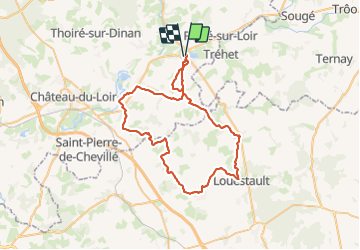

55 km | 64 km-effort

User


FREE GPS app for hiking
 SityTrail
IGN / Geographical institutes
SityTrail World
The world is yours!
Trail Hybrid bike of 59 km to be discovered at Pays de la Loire, Sarthe, La Chartre-sur-le-Loir. This trail is proposed by danaubrac.
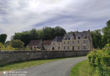
A l'entrée de Louestault (lieu-dit La Fontaine), ne manquez pas le coin pique-nique ...pour vous reposer, vous nourrir, ou simplement pour la beauté de l'endroit.
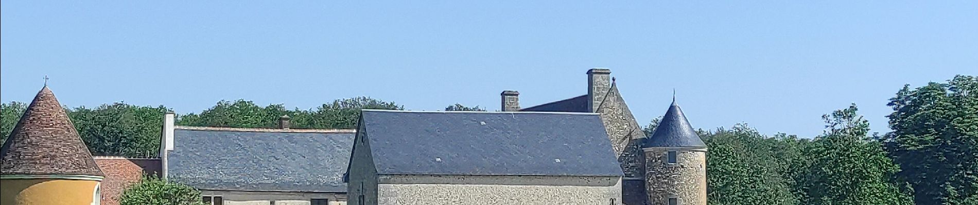
 - Photo 1")
 - Photo 2")
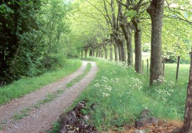
 - Photo 3")
 - Photo 4")
 - Photo 5")
 - Photo 6")
 - Photo 7")
Cycle

On foot
Walking

Nordic walking

Walking
Walking