


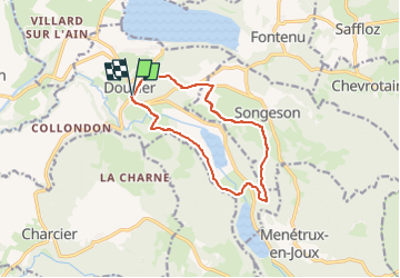


14.5 km | 20 km-effort

User


FREE GPS app for hiking
 SityTrail
IGN / Geographical institutes
SityTrail World
The world is yours!
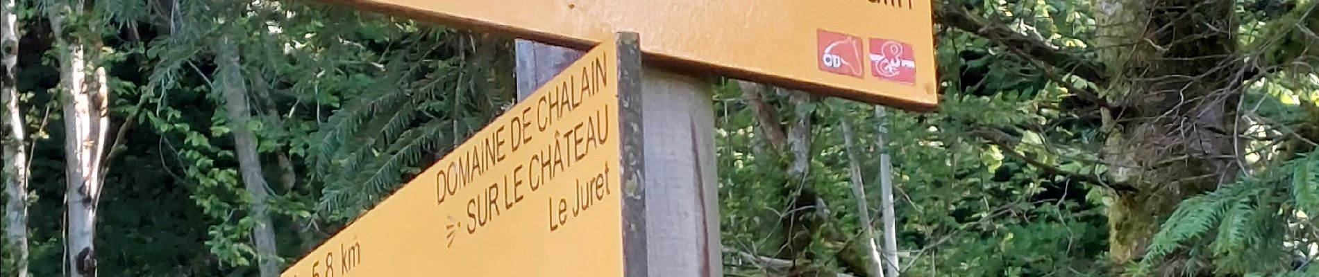
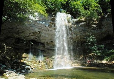
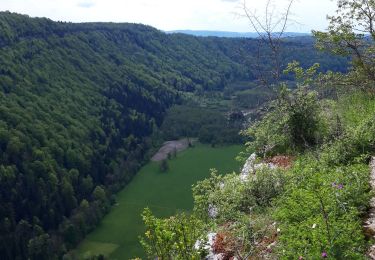
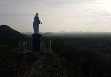
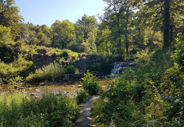
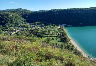
Trail Walking of 11.4 km to be discovered at Bourgogne-Franche-Comté, Jura, Doucier. This trail is proposed by drarep.
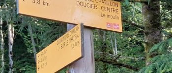
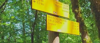
Balisage assuré aller et retour en intégralité, 2 passages soit 24 kms effectifs
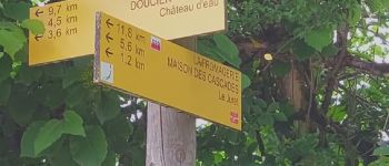
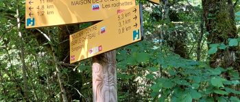
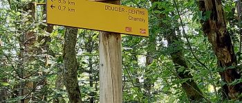
Rien de particulier à signaler, les lames propres, balisage repris, peintures anciennes et balises trop nombreuses sur l'ensemble du parcours mais pas d'anomalie majeure; les croix existantes ont été maintenues sans être ravivées.
Le défrichage sous les poteaux à été un gros travail ; rien de fait depuis plusieurs années de même que sur les balises du parcours.
Le tronçon Poteau "La Rochette" - "Songesson" a été créer.
Le Tronçon Tourne à Droite sur le retour sur Doucier depuis Chambly à été créer en aller et retour


Walking

Walking
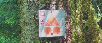
Mountain bike
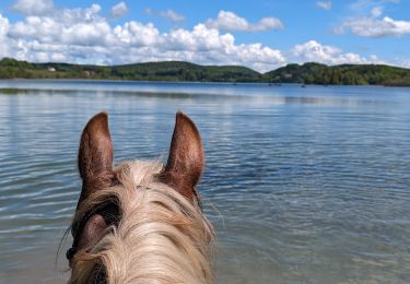
Horseback riding
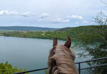
Horseback riding
Walking
Walking
Walking
Walking