![](/images/other/stat-length.png)
![Trail Castelnau-de-Montmiral - 2023-06-01_23h13m36_Cirkwi-Sentier_du_Château_de_Lagarde - Photo](https://media.geolcdn.com/t/1900/400/ext.pjpeg?maxdim=2&url=https%3A%2F%2Fsecurestorage.geolives.com%2Fsitytour%2Ftrail-bg%2Fdefault.jpg)
2023-06-01_23h13m36_Cirkwi-Sentier_du_Château_de_Lagarde
kephas
User
![Length](/images/other/stat-length.png)
![Max alt](https://static1.geolcdn.com/siteimages/upload/files/1508320355ic_sort_altitude_max_24dp.png)
![Uphill gradient](https://static1.geolcdn.com/siteimages/upload/files/1508320355ic_sort_den_pos_24dp.png)
![Km-Effort](/images/other/stat-length.png)
![Min alt](https://static1.geolcdn.com/siteimages/upload/files/1508320355ic_sort_altitude_min_24dp.png)
![Downhill gradient](https://static1.geolcdn.com/siteimages/upload/files/1508320355ic_sort_den_neg_24dp.png)
![Boucle](https://static1.geolcdn.com/siteimages/upload/files/16400158638029165_repeat_loop_refresh_sync_direction_icon.png)
![Scan this QR Code to open this trail in the SityTrail application](https://capi.geolives.com/qq0zvz2zws4bq2lad0pu/sitytour/trails/3684191/qr.png?size=200)
FREE GPS app for hiking
About
Trail of 12 km to be discovered at Occitania, Tarn, Castelnau-de-Montmiral. This trail is proposed by kephas.
Description
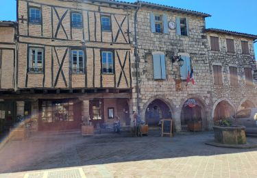
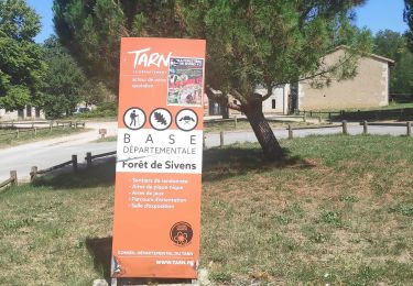
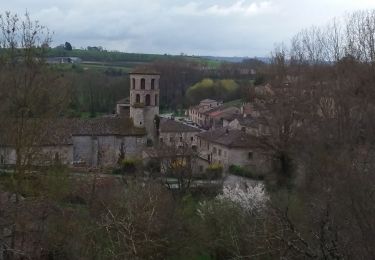
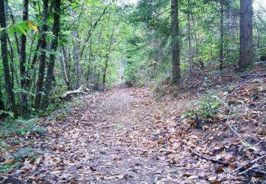
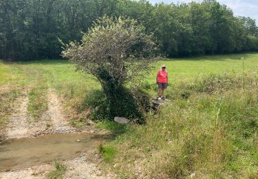
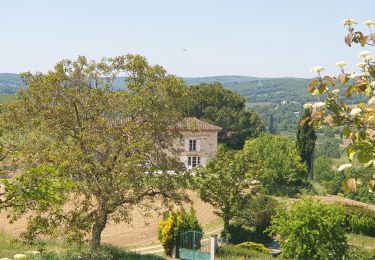
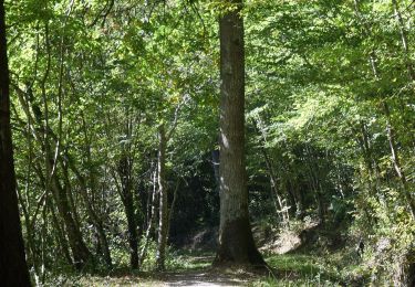
Longeant rivières, cultures et prairies, franchissant des ruisseaux, l’itinéraire mènera le randonneur jusqu’à la base de loisirs Vère-Grésigne depuis le village de Castelnau-de-Montmiral.Le sentier de randonnée débute au pied de Castelnau-de-Montmiral dont le nom provient de Castelnou pour château neuf et mon mirailh pour désigner un mont. Le village se dresse sur un promontoire en avancée de la chaîne des coteaux longeant la rive gauche de la Vère. Cette position, permettant de surveiller l’amont et l’aval d’une grande partie du bassin de la rivière, convenait parfaitement à un château et à un village au Moyen Âge. Longeant rivières, cultures et prairies, franchissant des ruisseaux, l’itinéraire mènera le randonneur jusqu’à la base de loisirs Vère-Grésigne.
Positioning
Comments
Trails nearby
![Trail Other activity Castelnau-de-Montmiral - Chemin de Gradille - Photo](https://media.geolcdn.com/t/375/260/ext.jpg?maxdim=2&url=https%3A%2F%2Fstatic1.geolcdn.com%2Fsiteimages%2Fupload%2Ffiles%2F1545311037marcheuse_200dpi.jpg)
![Other activity Other activity](https://static1.geolcdn.com/sitytour/trail-icons/900.png)
Other activity
![](/images/other/stat-length.png)
![](https://static1.geolcdn.com/siteimages/upload/files/16400158638029165_repeat_loop_refresh_sync_direction_icon.png)
![Trail Walking Castelnau-de-Montmiral - boucle castelnau de montmiral - Photo](https://media.geolcdn.com/t/375/260/ab1644fc-a048-461d-b8c8-d5ccaee8ceb6.jpg&format=jpg&maxdim=2)
![Walking Walking](https://static1.geolcdn.com/sitytour/trail-icons/101.png)
Walking
![](/images/other/stat-length.png)
![](https://static1.geolcdn.com/siteimages/upload/files/16400158638029165_repeat_loop_refresh_sync_direction_icon.png)
![Trail Walking Lisle-sur-Tarn - sentier de Sivens et découverte - Photo](https://media.geolcdn.com/t/375/260/431d4d6f-42e6-4032-a3ed-18af95beef7e.jpg&format=jpg&maxdim=2)
![Walking Walking](https://static1.geolcdn.com/sitytour/trail-icons/101.png)
Walking
![](/images/other/stat-length.png)
![](https://static1.geolcdn.com/siteimages/upload/files/16400158638029165_repeat_loop_refresh_sync_direction_icon.png)
![Trail Walking Vieux - Boucle Vieux Le Verdier Cahuzac sur Vère Andillac - Photo](https://media.geolcdn.com/t/375/260/7faa45ff-a167-4a0a-8a9c-542f4112774f.jpg&format=jpg&maxdim=2)
![Walking Walking](https://static1.geolcdn.com/sitytour/trail-icons/101.png)
Walking
![](/images/other/stat-length.png)
![](https://static1.geolcdn.com/siteimages/upload/files/16400158638029165_repeat_loop_refresh_sync_direction_icon.png)
![Trail Mountain bike Lisle-sur-Tarn - Forêt de Sivens et alentours - Photo](https://media.geolcdn.com/t/375/260/ext.jpg?maxdim=2&url=https%3A%2F%2Fservices.sitytrail.com%2FGeolivesWS%2FDownloadMedia.ashx%3FTrailID%3D100982%26Media%3D481_3.jpg)
![Mountain bike Mountain bike](https://static1.geolcdn.com/sitytour/trail-icons/202.png)
Mountain bike
![](/images/other/stat-length.png)
![](https://static1.geolcdn.com/siteimages/upload/files/16400158638029165_repeat_loop_refresh_sync_direction_icon.png)
![Trail Mountain bike Lisle-sur-Tarn - Forêt de Sivens - Photo](https://media.geolcdn.com/t/375/260/ext.jpg?maxdim=2&url=https%3A%2F%2Fservices.sitytrail.com%2FGeolivesWS%2FDownloadMedia.ashx%3FTrailID%3D100907%26Media%3D407_3.jpg)
![Mountain bike Mountain bike](https://static1.geolcdn.com/sitytour/trail-icons/202.png)
Mountain bike
![](/images/other/stat-length.png)
![](https://static1.geolcdn.com/siteimages/upload/files/16400158638029165_repeat_loop_refresh_sync_direction_icon.png)
![Trail sport Castelnau-de-Montmiral - Chemin de Gradille avec chapelle - Photo](https://media.geolcdn.com/t/375/260/99c51347-1fd1-48da-9a5d-ffa33c25a059.jpg&format=jpg&maxdim=2)
sport
![](/images/other/stat-length.png)
![](https://static1.geolcdn.com/siteimages/upload/files/16400158638029165_repeat_loop_refresh_sync_direction_icon.png)
![Trail Walking Castelnau-de-Montmiral - Autour de Castelnau de Montmiral - Photo](https://media.geolcdn.com/t/375/260/b32e4fb5-a8d5-4ad8-9db6-9224893518aa.jpg&format=jpg&maxdim=2)
![Walking Walking](https://static1.geolcdn.com/sitytour/trail-icons/101.png)
Walking
![](/images/other/stat-length.png)
![](https://static1.geolcdn.com/siteimages/upload/files/16400158638029165_repeat_loop_refresh_sync_direction_icon.png)
![Trail Nordic walking Lisle-sur-Tarn - Sentier de Sivens - Photo](https://media.geolcdn.com/t/375/260/c6432d85-7d58-4c2c-8099-67a44bd6d4dc.jpg&format=jpg&maxdim=2)
![Nordic walking Nordic walking](https://static1.geolcdn.com/sitytour/trail-icons/102.png)
Nordic walking
![](/images/other/stat-length.png)
![](https://static1.geolcdn.com/siteimages/upload/files/16400158638029165_repeat_loop_refresh_sync_direction_icon.png)
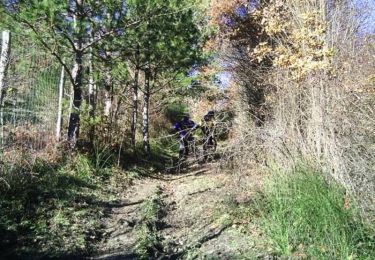
La traversée de la base de loisir et la montée en sous bois sont agréables. le reste souvent sur le goudron est sans intérêt