24 km | 30 km-effort
Loker 12.5km et 300m deniv 01/06/2023
eaea7charles
User
Length
12.5 km
Max alt
138 m
Uphill gradient
298 m
Km-Effort
16.4 km
Min alt
37 m
Downhill gradient
296 m
Boucle
Yes
Creation date :
2023-06-01 06:59:23.786
Updated on :
2023-06-01 18:35:24.796
2h55
Difficulty : Difficult
FREE GPS app for hiking
About
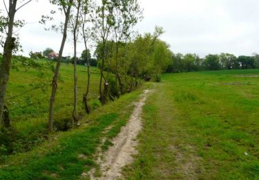
Trail Walking of 12.5 km to be discovered at Flanders, West Flanders, Heuvelland. This trail is proposed by eaea7charles.
Positioning
Country:
Belgium
Region :
Flanders
Department/Province :
West Flanders
Municipality :
Heuvelland
Location:
Loker
Start:(Dec)
Start:(UTM)
483958 ; 5625593 (31U) N.
Comments
Trails nearby
Loker - Le Mont Rouge
Walking
Medium
(3)
Heuvelland,
Flanders,
West Flanders,
Belgium
8.7 km | 10.8 km-effort
2h 19min
Yes
Geuzen wandelroute
On foot
Easy
Heuvelland,
Flanders,
West Flanders,
Belgium
9.7 km | 11.4 km-effort
2h 35min
Yes
Kemmelberg wandelroute
On foot
Easy
Heuvelland,
Flanders,
West Flanders,
Belgium
8.9 km | 11.4 km-effort
2h 36min
Yes
Tweebergen wandelroute
On foot
Easy
Heuvelland,
Flanders,
West Flanders,
Belgium
7.3 km | 9 km-effort
2h 2min
Yes
Westouter langs tweetermen
Walking
Difficult
(1)
Heuvelland,
Flanders,
West Flanders,
Belgium
7.5 km | 9.1 km-effort
2h 4min
Yes
sentier des jacynthes
Walking
Medium
(1)
Saint-Jans-Cappel,
Hauts-de-France,
Nord,
France
7.3 km | 9.2 km-effort
2h 1min
Yes
camping de la Ferme des Saules à côté de Bailleul, arrivée Deulemont
Walking
Medium
Bailleul,
Hauts-de-France,
Nord,
France
32 km | 34 km-effort
9h 10min
No