10.2 km | 12.6 km-effort
2023_05_Caillouet Sud Le Plessis
jeanlucien
User
Length
13.1 km
Max alt
135 m
Uphill gradient
163 m
Km-Effort
15.3 km
Min alt
73 m
Downhill gradient
163 m
Boucle
Yes
Creation date :
2023-06-01 13:04:18.187
Updated on :
2023-06-01 13:07:11.005
2h45
Difficulty : Medium
FREE GPS app for hiking
About
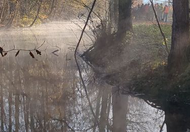
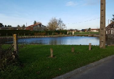
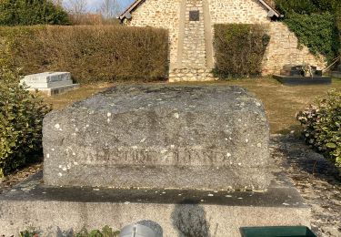
Trail Walking of 13.1 km to be discovered at Normandy, Eure, Caillouet-Orgeville. This trail is proposed by jeanlucien.
Description
Attention portion de la D141 après pont au-dessus de la voie ferrée, praticable sans risque sur le bas-côté (l argeur environ un mètre)
Positioning
Country:
France
Region :
Normandy
Department/Province :
Eure
Municipality :
Caillouet-Orgeville
Location:
Unknown
Start:(Dec)
Start:(UTM)
376291 ; 5429720 (31U) N.
Comments
Trails nearby
Jouy, la ronce
Walking
Easy
Jouy-sur-Eure,
Normandy,
Eure,
France
8.8 km | 10.6 km-effort
3h 18min
Yes
jean pierre chorte
Walking
Easy
Miserey,
Normandy,
Eure,
France
9.3 km | 10.3 km-effort
2h 16min
Yes
Jouy / Eure
Road bike
Very easy
Vaux-sur-Eure,
Normandy,
Eure,
France
38 km | 42 km-effort
2h 40min
No
Boisset les Prévanches 2021 05 13_
Walking
Medium
Boisset-les-Prévanches,
Normandy,
Eure,
France
20 km | 24 km-effort
5h 1min
Yes
La vallée de l’Eure
Road bike
Easy
Pacy-sur-Eure,
Normandy,
Eure,
France
45 km | 50 km-effort
2h 11min
Yes
Boisset station
Walking
Easy
Boisset-les-Prévanches,
Normandy,
Eure,
France
9.6 km | 11.5 km-effort
2h 6min
Yes