34 km | 39 km-effort
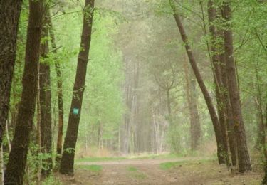
Balade familiale autour de la Flèche
LANDRIEU
User
Length
5.5 km
Max alt
106 m
Uphill gradient
53 m
Km-Effort
6.2 km
Min alt
72 m
Downhill gradient
53 m
Boucle
Yes
Creation date :
2023-06-01 04:27:29.395
Updated on :
2023-06-01 04:27:43.183
1h24
Difficulty : Medium
FREE GPS app for hiking
About
Trail Walking of 5.5 km to be discovered at Pays de la Loire, Sarthe, Bousse. This trail is proposed by LANDRIEU.
Positioning
Country:
France
Region :
Pays de la Loire
Department/Province :
Sarthe
Municipality :
Bousse
Location:
Unknown
Start:(Dec)
Start:(UTM)
721185 ; 5292708 (30T) N.
Comments
Trails nearby
Petite sortie VTT vers Saint Germain du Val - Courcelles la Forêt
Mountain bike
Medium
Courcelles-la-Forêt,
Pays de la Loire,
Sarthe,
France
36 km | 42 km-effort
1h 40min
Yes
De Courcelles la Forêt en passant par Saint Jean du Bois
Mountain bike
Medium
(1)
Courcelles-la-Forêt,
Pays de la Loire,
Sarthe,
France
53 km | 61 km-effort
2h 25min
Yes
Au sud de La Flèche-16771122
Electric bike
Medium
La Flèche,
Pays de la Loire,
Sarthe,
France
63 km | 70 km-effort
Unknown
Yes
Au nord de La Flèche-16771200
Electric bike
Medium
La Flèche,
Pays de la Loire,
Sarthe,
France
58 km | 64 km-effort
Unknown
Yes
A l'est de La Flèche-16771167
Electric bike
Medium
La Flèche,
Pays de la Loire,
Sarthe,
France
56 km | 63 km-effort
Unknown
Yes
Manu Jno Steph
Mountain bike
Very difficult
La Flèche,
Pays de la Loire,
Sarthe,
France
48 km | 54 km-effort
2h 40min
Yes
St. Germain-Bazouge-cré-La flèche
Mountain bike
Easy
La Flèche,
Pays de la Loire,
Sarthe,
France
27 km | 30 km-effort
1h 59min
Yes
St. germain-Verron-Bazouges-Cré/loir-St. Quentin-Clefs-La Fléche-St Germain
Mountain bike
Medium
La Flèche,
Pays de la Loire,
Sarthe,
France
48 km | 54 km-effort
3h 35min
Yes