


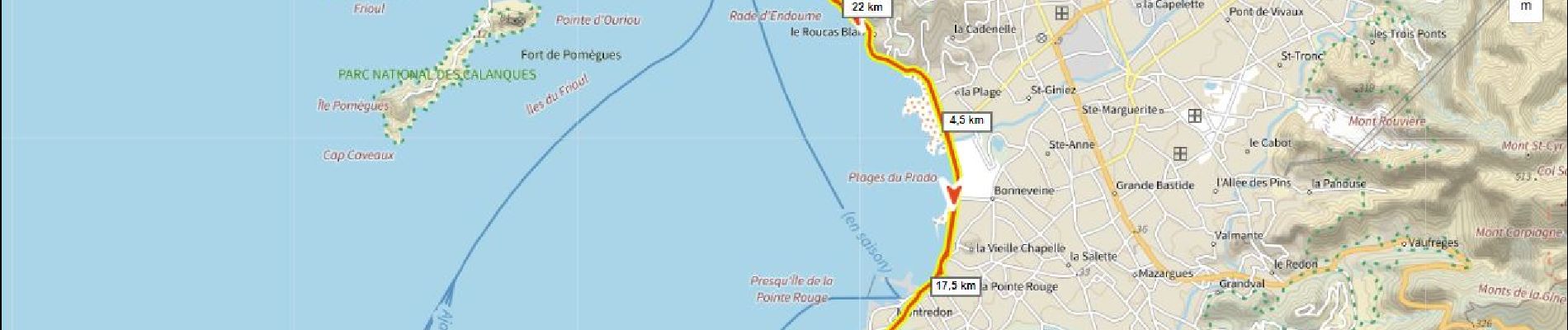
10.5 km | 13.1 km-effort

User


FREE GPS app for hiking
 SityTrail
IGN / Geographical institutes
SityTrail World
The world is yours!
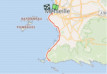
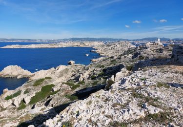
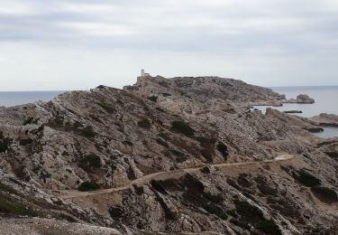
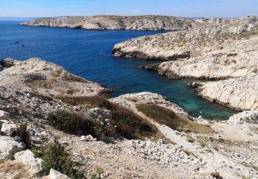
Trail Road bike of 25 km to be discovered at Provence-Alpes-Côte d'Azur, Bouches-du-Rhône, Marseille. This trail is proposed by ericberlin.
Certains dimanches la corniche est interdite aux voitures
Operation "la voie est libre"
https://www.marseille-tourisme.com/


Walking
Walking
Walking

Walking

Walking
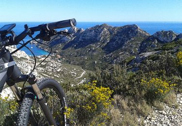
Mountain bike
Walking