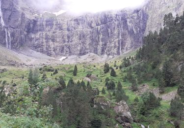
4 km | 5.7 km-effort
Trace col Bernatoire Guy
mitch1952
User
Length
10.4 km
Max alt
2340 m
Uphill gradient
648 m
Km-Effort
19 km
Min alt
1728 m
Downhill gradient
647 m
Boucle
Yes
Creation date :
2023-05-29 07:32:05.0
Updated on :
2023-05-29 14:32:44.45
6h08
Difficulty : Unknown
FREE GPS app for hiking
About
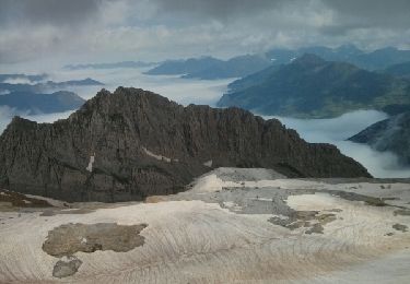
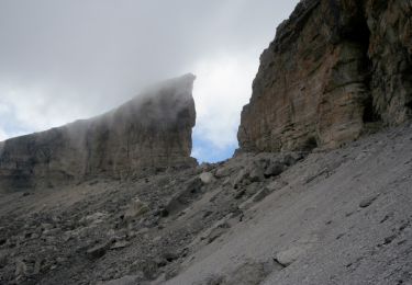
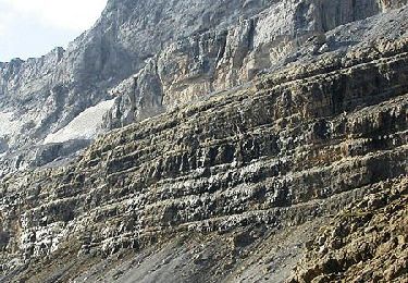
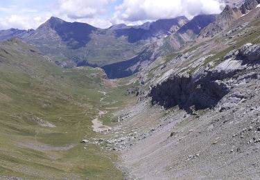
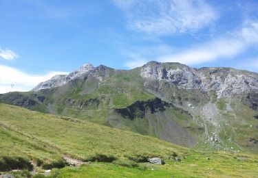
Trail Walking of 10.4 km to be discovered at Occitania, Hautespyrenees, Gavarnie-Gèdre. This trail is proposed by mitch1952.
Positioning
Country:
France
Region :
Occitania
Department/Province :
Hautespyrenees
Municipality :
Gavarnie-Gèdre
Location:
Gavarnie
Start:(Dec)
Start:(UTM)
738754 ; 4737644 (30T) N.
Comments
Trails nearby
Soum Blanc des Espécières-Col des Tentes
Walking
Difficult
(7)
Torla-Ordesa,
Aragon,
Huesca,
Spain
1h 42min
No
Lac de la Bernatoire
Walking
Medium
(8)
Gavarnie-Gèdre,
Occitania,
Hautespyrenees,
France
12.7 km | 22 km-effort
4h 36min
Yes
Breche de Rolland
Walking
Easy
(3)
Gavarnie-Gèdre,
Occitania,
Hautespyrenees,
France
12.1 km | 22 km-effort
4h 34min
Yes
Faja de las Flores
Walking
Very difficult
(1)
Gavarnie-Gèdre,
Occitania,
Hautespyrenees,
France
22 km | 45 km-effort
13h 0min
Yes
Le Soum Blanc des Especières 2685m depuis le col de Tentes
Walking
Difficult
(2)
Gavarnie-Gèdre,
Occitania,
Hautespyrenees,
France
5.6 km | 12.6 km-effort
3h 0min
Yes
Le Casque du Marboré 3006m depuis le col de Tentes (2208m)
Walking
Very difficult
(1)
Gavarnie-Gèdre,
Occitania,
Hautespyrenees,
France
7 km | 16.4 km-effort
7h 0min
No
2012-08-09 Ref des Oulettes de Gaube -ref Wallon via col des Mulets, col de L...
Walking
Difficult
(4)
Cauterets,
Occitania,
Hautespyrenees,
France
22 km | 41 km-effort
7h 39min
No
65-Brèche-de-Roland(AR)-12Km/700m
Walking
Difficult
Gavarnie-Gèdre,
Occitania,
Hautespyrenees,
France
11.6 km | 21 km-effort
4h 46min
Yes
Pyrénées 2023 Jour 5 - Brèche de Roland - Pic Taillon 3128 m
Walking
Very difficult
Gavarnie-Gèdre,
Occitania,
Hautespyrenees,
France
16.4 km | 31 km-effort
7h 8min
No