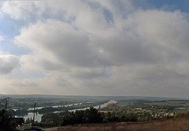
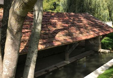
10.9 km | 14.7 km-effort
24bornes
© OpenStreetMap contributors
Orienteering
2h03
Difficulty : Very easy
Length
4.1 km
Max alt
134 m
Uphill gradient
60 m
Km-Effort
4.9 km
Min alt
106 m
Downhill gradient
60 m
Boucle
Yes
Creation date :
2023-05-29 12:18:47.37
Updated on :
2023-05-29 14:24:09.854
2h03
Difficulty : Very easy
FREE GPS app for hiking
About
Trail Orienteering of 4.1 km to be discovered at Ile-de-France, Yvelines, Limay. This trail is proposed by mathiasdominique@orange.fr.
Description
rando challenge
Positioning
Country:
France
Region :
Ile-de-France
Department/Province :
Yvelines
Municipality :
Limay
Location:
Unknown
Start:(Dec)
Start:(UTM)
406338 ; 5429403 (31U) N.
Comments
Trails nearby
La Garennoise 2005-47km
Mountain bike
Difficult
(2)
Saint-Martin-la-Garenne,
Ile-de-France,
Yvelines,
France
47 km | 60 km-effort
3h 30min
Yes
mantelavilloise 2013 40km
Mountain bike
Difficult
(2)
Mantes-la-Ville,
Ile-de-France,
Yvelines,
France
41 km | 52 km-effort
4h 50min
Yes
Porte du Vexin - Limay
Mountain bike
Difficult
(1)
Limay,
Ile-de-France,
Yvelines,
France
34 km | 42 km-effort
2h 30min
Yes
160117 - Saint-Martin la Garenne
Walking
Easy
(1)
Saint-Martin-la-Garenne,
Ile-de-France,
Yvelines,
France
14.2 km | 15.7 km-effort
3h 27min
Yes
ile l Aumône 10/06/2016
Nordic walking
Easy
Mantes-la-Jolie,
Ile-de-France,
Yvelines,
France
8.3 km | 9.1 km-effort
2h 20min
Yes
La Garennoise 2005 - 80km
Mountain bike
Very difficult
(1)
Saint-Martin-la-Garenne,
Ile-de-France,
Yvelines,
France
80 km | 100 km-effort
5h 30min
Yes
Mantes la Jolie - Mantes centre
Walking
Difficult
Mantes-la-Jolie,
Ile-de-France,
Yvelines,
France
30 km | 38 km-effort
5h 29min
No
boucle guernes 20190512
Walking
Very easy
Saint-Martin-la-Garenne,
Ile-de-France,
Yvelines,
France
14 km | 15.4 km-effort
2h 59min
Yes