


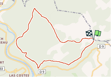

14 km | 19.4 km-effort


User


FREE GPS app for hiking
 SityTrail
IGN / Geographical institutes
SityTrail World
The world is yours!
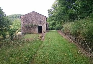
Trail Walking of 10.8 km to be discovered at Occitania, Tarn, Penne. This trail is proposed by PhilB24.
rando au départ de Fabre. Départ par petite route et chemin pour rejoindre le GR 46. puis vers Amiel suivre Les Suquets et retour tranquile par GR de pays ombragé. Pas de dificulté technique.


Walking
Walking

Mountain bike
Walking

Walking

Walking
Walking

Mountain bike