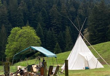
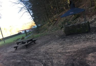
59 km | 69 km-effort
niderviller
Titinechris
User
Length
12.8 km
Max alt
337 m
Uphill gradient
184 m
Km-Effort
15.2 km
Min alt
259 m
Downhill gradient
184 m
Boucle
No
Creation date :
2023-05-29 07:11:01.12
Updated on :
2023-05-29 12:20:51.18
5h08
Difficulty : Difficult
FREE GPS app for hiking
About
Trail Walking of 12.8 km to be discovered at Grand Est, Moselle, Niderviller. This trail is proposed by Titinechris.
Positioning
Country:
France
Region :
Grand Est
Department/Province :
Moselle
Municipality :
Niderviller
Location:
Unknown
Start:(Dec)
Start:(UTM)
360839 ; 5397421 (32U) N.
Comments
Trails nearby
Aux portes de Sarrebourg, le Pays des Grands Etangs - Sarrebourg - Circuit 20
Cycle
Difficult
Sarrebourg,
Grand Est,
Moselle,
France
3h 30min
Yes
2024 août sarrebourg zap
Walking
Very difficult
Sarrebourg,
Grand Est,
Moselle,
France
16.6 km | 19.8 km-effort
5h 14min
Yes
Rando tipi
Horseback riding
Very difficult
Niderviller,
Grand Est,
Moselle,
France
32 km | 44 km-effort
6h 7min
No
Forêt reding
Horseback riding
Easy
Niderviller,
Grand Est,
Moselle,
France
5.4 km | 6.6 km-effort
55min
No
Balade nider
Horseback riding
Easy
Niderviller,
Grand Est,
Moselle,
France
4.5 km | 5.2 km-effort
1h 3min
No
export-route-des-cretes-cols-vosgiens
Motorbike
Very easy
Sarrebourg,
Grand Est,
Moselle,
France
449 km | 571 km-effort
Unknown
No
Boucle Hesse - Abreschviller - Sarrebourg
Bicycle tourism
Medium
Hesse,
Grand Est,
Moselle,
France
49 km | 56 km-effort
Unknown
Yes
piste cyclable, Alexis
Cycle
Easy
Hesse,
Grand Est,
Moselle,
France
27 km | 31 km-effort
1h 45min
Yes
Sarrebourg Saverne
Walking
Medium
Sarrebourg,
Grand Est,
Moselle,
France
33 km | 42 km-effort
7h 5min
No