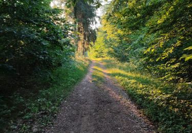
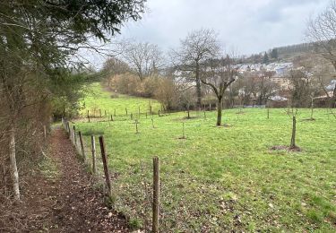
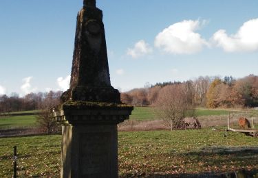
12.6 km | 16.2 km-effort
boucle forêt de St Léger
julu
User
Length
9.1 km
Max alt
364 m
Uphill gradient
146 m
Km-Effort
11.1 km
Min alt
277 m
Downhill gradient
145 m
Boucle
Yes
Creation date :
2023-04-30 13:47:35.472
Updated on :
2023-05-26 14:26:31.013
2h32
Difficulty : Easy
FREE GPS app for hiking
About
Trail Walking of 9.1 km to be discovered at Wallonia, Luxembourg, Saint-Léger. This trail is proposed by julu.
Positioning
Country:
Belgium
Region :
Wallonia
Department/Province :
Luxembourg
Municipality :
Saint-Léger
Location:
Saint-Léger
Start:(Dec)
Start:(UTM)
692805 ; 5501465 (31U) N.
Comments
Trails nearby
RF-Lu-14 - Au pays des lavoirs anciens et des usoirs : Châtillon
Walking
Very easy
(1)
Saint-Léger,
Wallonia,
Luxembourg,
Belgium
3h 29min
Yes
O2bikers_26_etalle
Mountain bike
Very easy
(1)
Étalle,
Wallonia,
Luxembourg,
Belgium
22 km | 27 km-effort
3h 0min
Yes
GAUME Boucle vers la vallee de la Rougeau
Walking
Easy
(3)
Étalle,
Wallonia,
Luxembourg,
Belgium
5.6 km | 7.1 km-effort
1h 32min
Yes
GAUME Balade dans les dunes de chatillon
Walking
Very easy
(1)
Saint-Léger,
Wallonia,
Luxembourg,
Belgium
3.6 km | 4.4 km-effort
58min
Yes
Chantemelle la tranchée des portes
Walking
Easy
Étalle,
Wallonia,
Luxembourg,
Belgium
10.8 km | 12.6 km-effort
2h 30min
Yes
Rachecourt-Willancourt-Battincourt (boucle 19k)
Walking
Very difficult
Aubange,
Wallonia,
Luxembourg,
Belgium
19.1 km | 25 km-effort
4h 36min
Yes
Tranchée des Portes - Marche_8kms
Walking
Difficult
Saint-Léger,
Wallonia,
Luxembourg,
Belgium
7.8 km | 10.2 km-effort
1h 44min
No
De Clocher en Clocher
On foot
Easy
Saint-Léger,
Wallonia,
Luxembourg,
Belgium
7.2 km | 8.9 km-effort
2h 0min
Yes
La Stabuloise
On foot
Easy
Étalle,
Wallonia,
Luxembourg,
Belgium
13.5 km | 15.5 km-effort
3h 30min
Yes