![](/images/other/stat-length.png)
![Trail Walking Boissy-le-Cutté - Boissy-le-Cutté - Photo](https://media.geolcdn.com/t/1900/400/d56d4afa-ea93-497d-bf6c-fad00e4d5034.jpg&format=pjpeg&maxdim=2)
Boissy-le-Cutté
guydu41
User
![Length](/images/other/stat-length.png)
![Max alt](https://static1.geolcdn.com/siteimages/upload/files/1508320355ic_sort_altitude_max_24dp.png)
![Uphill gradient](https://static1.geolcdn.com/siteimages/upload/files/1508320355ic_sort_den_pos_24dp.png)
![Km-Effort](/images/other/stat-length.png)
![Min alt](https://static1.geolcdn.com/siteimages/upload/files/1508320355ic_sort_altitude_min_24dp.png)
![Downhill gradient](https://static1.geolcdn.com/siteimages/upload/files/1508320355ic_sort_den_neg_24dp.png)
![Boucle](https://static1.geolcdn.com/siteimages/upload/files/16400158638029165_repeat_loop_refresh_sync_direction_icon.png)
![Walking](https://static1.geolcdn.com/sitytour/trail-icons/101.png)
2h22
Difficulty : Medium
![Scan this QR Code to open this trail in the SityTrail application](https://capi.geolives.com/qq0zvz2zws4bq2lad0pu/sitytour/trails/3674783/qr.png?size=200)
FREE GPS app for hiking
About
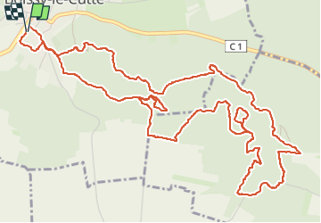
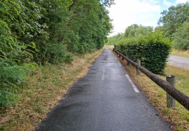
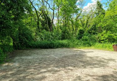
Trail Walking of 8.4 km to be discovered at Ile-de-France, Essonne, Boissy-le-Cutté. This trail is proposed by guydu41.
Description
Très beau circuit à la découverte des anciennes carrières de grés à l'Est de Boissy-le-Cutté.
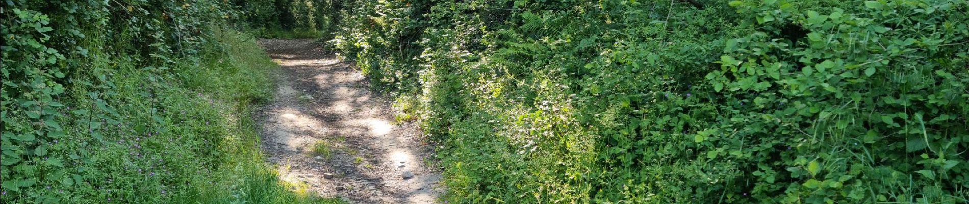
Le parcours emprunte essentiellement des chemins et de nombreux sentiers étroits et tortueux dans les bois.
Attention : Plusieurs passages sont extrêmement pentus et par temps humide peuvent être dangereux.
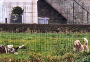
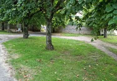
Positioning
Comments
Trails nearby
![Trail Walking Itteville - Les vieilles ailes - Photo](https://media.geolcdn.com/t/375/260/401f9abb-572c-45de-a602-03e6caf0f1c1.jpg&format=jpg&maxdim=2)
![Walking Walking](https://static1.geolcdn.com/sitytour/trail-icons/101.png)
Walking
![](/images/other/stat-length.png)
![](https://static1.geolcdn.com/siteimages/upload/files/16400158638029165_repeat_loop_refresh_sync_direction_icon.png)
![Trail Walking Vayres-sur-Essonne - Boucle 30 km à partir de Vayres / Essonne - Photo](https://media.geolcdn.com/t/375/260/99723d7b-eef1-42c9-a80a-6ef415a50d61.jpg&format=jpg&maxdim=2)
![Walking Walking](https://static1.geolcdn.com/sitytour/trail-icons/101.png)
Walking
![](/images/other/stat-length.png)
![](https://static1.geolcdn.com/siteimages/upload/files/16400158638029165_repeat_loop_refresh_sync_direction_icon.png)
![Trail Walking La Ferté-Alais - Boucle Cerny - Photo](https://media.geolcdn.com/t/375/260/562ec7de-aba0-410b-b341-a4b4bf98c65c.jpg&format=jpg&maxdim=2)
![Walking Walking](https://static1.geolcdn.com/sitytour/trail-icons/101.png)
Walking
![](/images/other/stat-length.png)
![](https://static1.geolcdn.com/siteimages/upload/files/16400158638029165_repeat_loop_refresh_sync_direction_icon.png)
![Trail On foot Itteville - SityTrail - 3212203 - itteville - Photo](https://media.geolcdn.com/t/375/260/56ba6227-1e0d-415b-8a48-77e4f7fc1956.jpg&format=jpg&maxdim=2)
![On foot On foot](https://static1.geolcdn.com/sitytour/trail-icons/100.png)
On foot
![](/images/other/stat-length.png)
![](https://static1.geolcdn.com/siteimages/upload/files/16400158638029165_repeat_loop_refresh_sync_direction_icon.png)
![Trail Walking Boissy-le-Cutté - Boucle autour de Boissy le Cuté par Thierry - Photo](https://media.geolcdn.com/t/375/260/336908cd-9ec6-484b-afe2-dd1a5cf591f1.jpg&format=jpg&maxdim=2)
![Walking Walking](https://static1.geolcdn.com/sitytour/trail-icons/101.png)
Walking
![](/images/other/stat-length.png)
![](https://static1.geolcdn.com/siteimages/upload/files/16400158638029165_repeat_loop_refresh_sync_direction_icon.png)
![Trail Walking Auvers-Saint-Georges - Auvers-Saint-Georges - Photo](https://media.geolcdn.com/t/375/260/94651cc4-eb6a-4aac-ab8a-ddf377c2df63.jpg&format=jpg&maxdim=2)
![Walking Walking](https://static1.geolcdn.com/sitytour/trail-icons/101.png)
Walking
![](/images/other/stat-length.png)
![](https://static1.geolcdn.com/siteimages/upload/files/16400158638029165_repeat_loop_refresh_sync_direction_icon.png)
![Trail Walking Bouville - Bouville - Photo](https://media.geolcdn.com/t/375/260/974d7298-2352-4001-9898-d49dbdbe3ea3.jpg&format=jpg&maxdim=2)
![Walking Walking](https://static1.geolcdn.com/sitytour/trail-icons/101.png)
Walking
![](/images/other/stat-length.png)
![](https://static1.geolcdn.com/siteimages/upload/files/16400158638029165_repeat_loop_refresh_sync_direction_icon.png)
![Trail Walking Janville-sur-Juine - Janville-sur-Juine - Dolmen de la Pierre Levée - Photo](https://media.geolcdn.com/t/375/260/166af3e5-da88-4656-b95c-5339dc95bebb.jpg&format=jpg&maxdim=2)
![Walking Walking](https://static1.geolcdn.com/sitytour/trail-icons/101.png)
Walking
![](/images/other/stat-length.png)
![](https://static1.geolcdn.com/siteimages/upload/files/16400158638029165_repeat_loop_refresh_sync_direction_icon.png)
![Trail Walking Itteville - Circuit de randonnée au Sud-Ouest d'Itteville - Photo](https://media.geolcdn.com/t/375/260/74b60fba-f891-43f2-ba32-b86f7aa7cb99.jpg&format=jpg&maxdim=2)
![Walking Walking](https://static1.geolcdn.com/sitytour/trail-icons/101.png)
Walking
![](/images/other/stat-length.png)
![](https://static1.geolcdn.com/siteimages/upload/files/16400158638029165_repeat_loop_refresh_sync_direction_icon.png)