


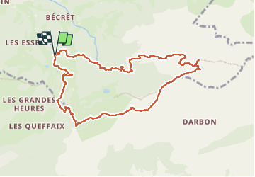


9.2 km | 22 km-effort

User


FREE GPS app for hiking
 SityTrail
IGN / Geographical institutes
SityTrail World
The world is yours!
Trail Walking of 10 km to be discovered at Auvergne-Rhône-Alpes, Upper Savoy, Bernex. This trail is proposed by tyax93.
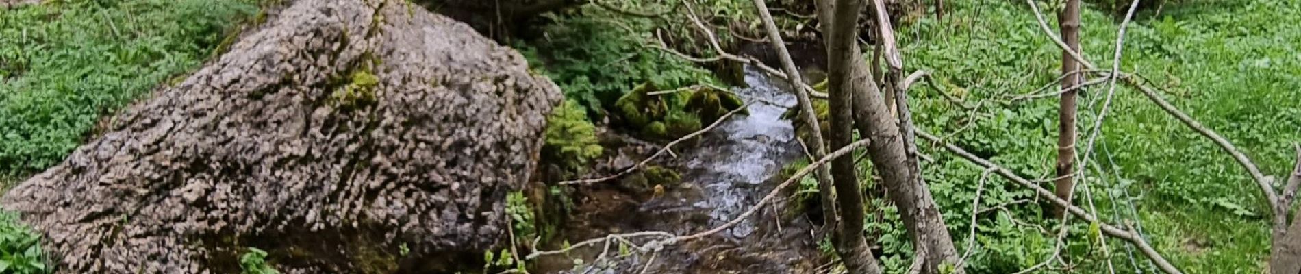
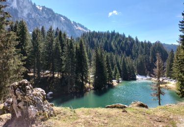
Belle boucle malgré le temps un peu couvert en ce 20 mai...
Rencontre avec des bouquetins...


23 photos in total. Please click on a photo to see them all in the gallery.

Walking

Walking

Walking

Walking

Walking

Walking
Walking

Walking

Nordic walking