


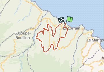

10.3 km | 14.4 km-effort

User


FREE GPS app for hiking
 SityTrail
IGN / Geographical institutes
SityTrail World
The world is yours!
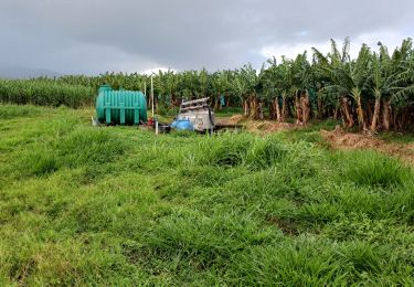
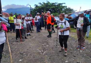
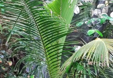
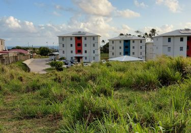
Trail Nordic walking of 23 km to be discovered at Martinique, Unknown, Le Lorrain. This trail is proposed by Ba Sa Balan.
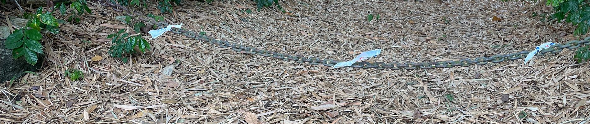
Passage sur voies privées


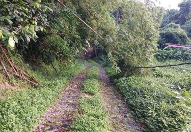
Walking
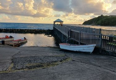
Walking

Walking
Walking
Walking
Walking

Walking
Walking

Walking