


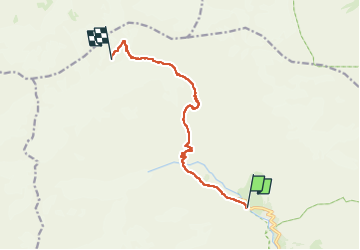

14.5 km | 28 km-effort


User


FREE GPS app for hiking
 SityTrail
IGN / Geographical institutes
SityTrail World
The world is yours!
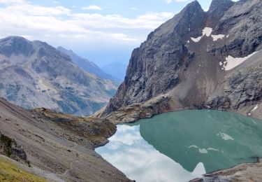
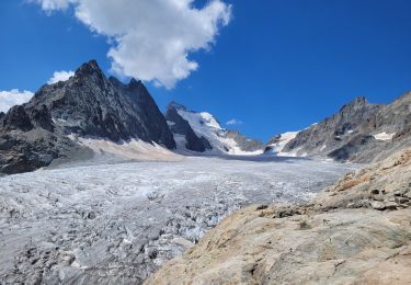
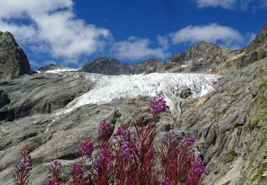
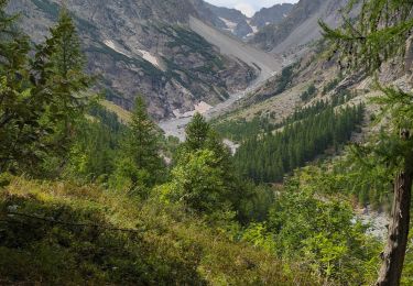
Trail Touring skiing of 10 km to be discovered at Provence-Alpes-Côte d'Azur, Hautes-Alpes, Vallouise-Pelvoux. This trail is proposed by loicthev.
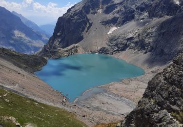
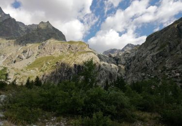
J1 : Pré de Madame Carle > Refuge des Écrins
27/04/2023
Alexandre Guillaume
Walking

Walking
Walking
Walking
Walking
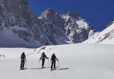
Touring skiing
Walking
Walking
Walking