


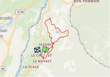

8.2 km | 18.4 km-effort


User


FREE GPS app for hiking
 SityTrail
IGN / Geographical institutes
SityTrail World
The world is yours!
Trail Nordic walking of 7 km to be discovered at Provence-Alpes-Côte d'Azur, Hautes-Alpes, Saint-André-d'Embrun. This trail is proposed by damlou.
Départ maison Marie Catherine
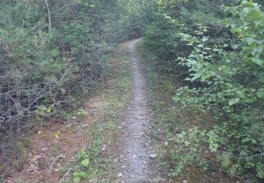
Montee chemin. forestier
Couper champs
Descendre boucle à Siguret

Walking

Walking

Walking

Walking

Walking
Walking

Walking
Walking
Walking
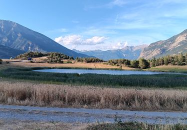
Départ de chez Marie Catherine champ hautes herbes pour voir les quelques pivoines Possibilité de partir des Muandes