


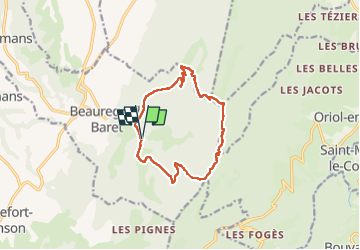

11.6 km | 23 km-effort


User


FREE GPS app for hiking
 SityTrail
IGN / Geographical institutes
SityTrail World
The world is yours!
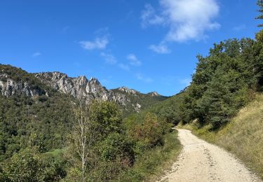
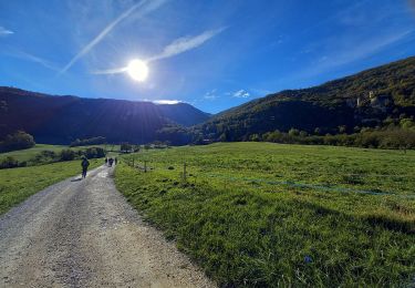
Trail Walking of 13.2 km to be discovered at Auvergne-Rhône-Alpes, Drôme, Beauregard-Baret. This trail is proposed by c.gourme.
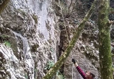
Rando à faire sans doute dans l’autre sens car la descente du Pas de l'Aulagnier est difficile. Attention parking en principe réservé pour la chasse donc Rando à faire en dehors de période de chasse ? Possibilité aussi de passer par le pas de la pierre mais c'est plus long : 16km 1h
Walking
Walking
Walking
Walking

Walking

sport

Walking
Walking
Walking