


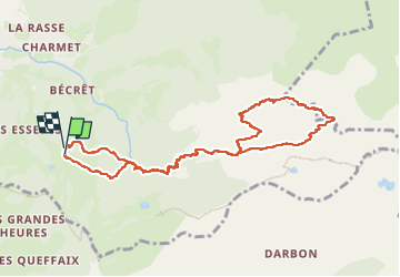


9.2 km | 22 km-effort

User


FREE GPS app for hiking
 SityTrail
IGN / Geographical institutes
SityTrail World
The world is yours!
Trail Walking of 10 km to be discovered at Auvergne-Rhône-Alpes, Upper Savoy, Bernex. This trail is proposed by tyax93.
Le temps de la Randonnée ne tient pas compte des grande pauses.
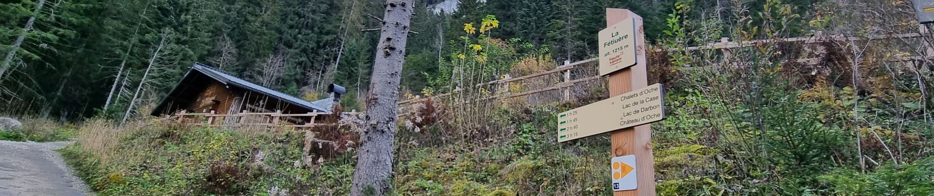
sur la partie de la Dent d'Oche des passage tres aeriens et équipés de chaine.. ne pas hesiter à les utiliser.
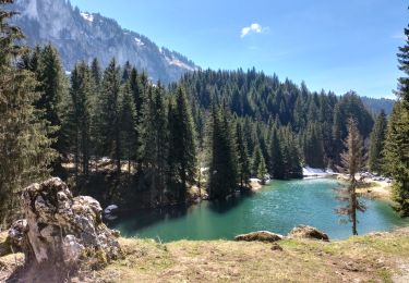
a faire par beau temps.. beau panorama en haut..


26 photos in total. Please click on a photo to see them all in the gallery.

Walking

Walking

Walking

Walking

Walking

Walking

Walking
Walking

Walking