


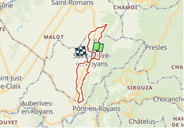

10.1 km | 22 km-effort


User


FREE GPS app for hiking
 SityTrail
IGN / Geographical institutes
SityTrail World
The world is yours!
Trail Nordic walking of 12.1 km to be discovered at Auvergne-Rhône-Alpes, Isère, Saint-André-en-Royans. This trail is proposed by Emelle.
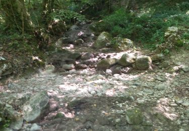
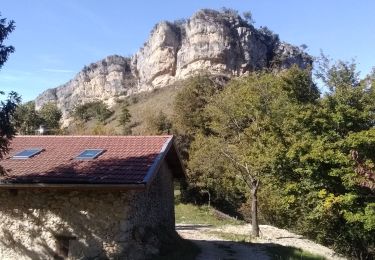
MN agréable et campagnarde faite après la visite commentée le matin du village de Saint André-en-Royans par l'association "Les amis du Vieux Saint-André"


Walking

Walking

Walking

Walking
Walking

Walking
Running

Walking

Walking