


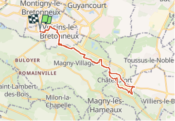

9.7 km | 11.6 km-effort

User


FREE GPS app for hiking
 SityTrail
IGN / Geographical institutes
SityTrail World
The world is yours!
Trail Running of 17.3 km to be discovered at Ile-de-France, Yvelines, Voisins-le-Bretonneux. This trail is proposed by huguesb.
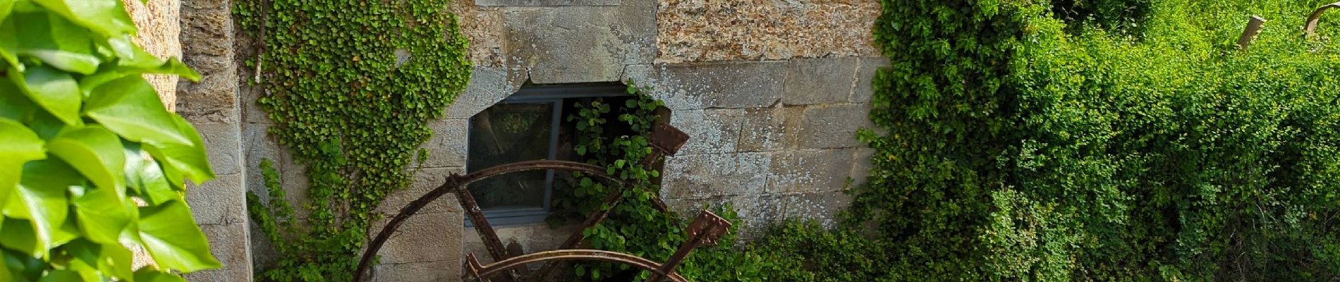
vu l'extension de l'ensemble de la ferme, et la vieille roue du moulin.
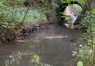
Un nouveau chemin est en cours d'aménagement le long de la Mérantaise


Walking

Walking

Walking

Walking
Walking
Walking

Walking
Walking

Mountain bike