11.6 km | 19.4 km-effort
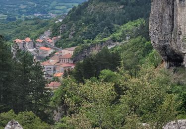
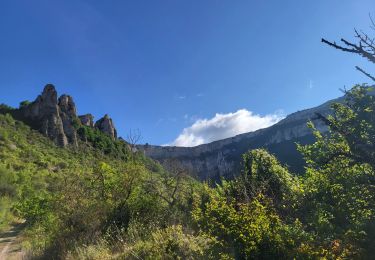
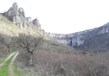
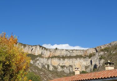
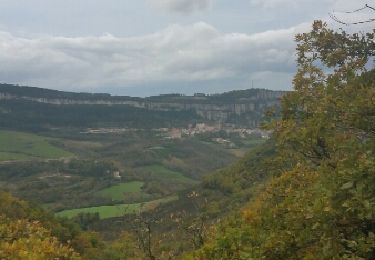
le rocher de Roucangel
amiral13
User GUIDE
Length
14.1 km
Max alt
787 m
Uphill gradient
572 m
Km-Effort
22 km
Min alt
437 m
Downhill gradient
572 m
Boucle
Yes
Creation date :
2023-05-19 08:19:46.238
Updated on :
2023-05-22 07:12:44.741
6h43
Difficulty : Easy
FREE GPS app for hiking
About
Trail Walking of 14.1 km to be discovered at Occitania, Aveyron, Roquefort-sur-Soulzon. This trail is proposed by amiral13.
Description
Randonnée effectuée le 19 mai 2023
Positioning
Country:
France
Region :
Occitania
Department/Province :
Aveyron
Municipality :
Roquefort-sur-Soulzon
Location:
Unknown
Start:(Dec)
Start:(UTM)
498487 ; 4869785 (31T) N.
Comments
Trails nearby
le Combalou par le sentier des échelles
Walking
Easy
Roquefort-sur-Soulzon,
Occitania,
Aveyron,
France
6h 22min
Yes
Tournemire - Cirque de Brias et sentier des échelles depuis Roquefort
Walking
Very difficult
Tournemire,
Occitania,
Aveyron,
France
23 km | 35 km-effort
7h 52min
Yes
St Rome de Cernon- Château de Melac
Walking
Easy
Saint-Rome-de-Cernon,
Occitania,
Aveyron,
France
8.7 km | 11.9 km-effort
3h 7min
No
St Rome-sur-Cernon- Roquefort-sur-Soulzon
Walking
Easy
Saint-Rome-de-Cernon,
Occitania,
Aveyron,
France
11.7 km | 16.5 km-effort
2h 46min
No
ROQUEFORT SUR SOULZON Rando des Echelles
On foot
Medium
(2)
Roquefort-sur-Soulzon,
Occitania,
Aveyron,
France
6.3 km | 10.4 km-effort
Unknown
Yes
Le Cirque de Tournemire et le Sentier des Échelles en passant par Roquefort
Walking
Difficult
Tournemire,
Occitania,
Aveyron,
France
21 km | 32 km-effort
6h 0min
Yes
Roquefort
Walking
Medium
Roquefort-sur-Soulzon,
Occitania,
Aveyron,
France
7.5 km | 11.4 km-effort
2h 33min
Yes
tournemire A/R par Roucangel
Walking
Medium
Tournemire,
Occitania,
Aveyron,
France
15.7 km | 23 km-effort
4h 36min
Yes
tournemire
Other activity
Very easy
Tournemire,
Occitania,
Aveyron,
France
7.7 km | 11.6 km-effort
1h 42min
Yes