


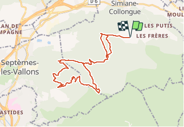

13.7 km | 20 km-effort


User


FREE GPS app for hiking
 SityTrail
IGN / Geographical institutes
SityTrail World
The world is yours!
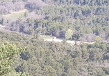
Trail Mountain bike of 21 km to be discovered at Provence-Alpes-Côte d'Azur, Bouches-du-Rhône, Simiane-Collongue. This trail is proposed by j13120.
Parcours sur DFCI et grands chemins, à l'abri du vent d'est.
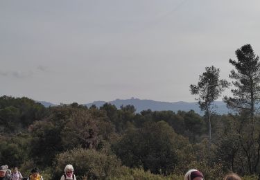
Vue magnifique sur Marseille et les iles ainsi que sur l'étang de Berre

Walking
Walking
Running

Walking

Mountain bike
Walking
Electric bike
Walking

Walking