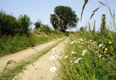
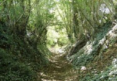
15.4 km | 17.2 km-effort
La Janverie -Montaillé Verif
SERUS
User
Length
15.7 km
Max alt
178 m
Uphill gradient
144 m
Km-Effort
17.7 km
Min alt
128 m
Downhill gradient
155 m
Boucle
No
Creation date :
2019-05-19 20:37:47.464
Updated on :
2019-05-19 20:37:47.498
3h53
Difficulty : Easy
FREE GPS app for hiking
About
Trail Walking of 15.7 km to be discovered at Pays de la Loire, Sarthe, Bouloire. This trail is proposed by SERUS.
Description
Verif du 28/11/2014
Positioning
Country:
France
Region :
Pays de la Loire
Department/Province :
Sarthe
Municipality :
Bouloire
Location:
Unknown
Start:(Dec)
Start:(UTM)
317668 ; 5314884 (31T) N.
Comments
Trails nearby
Maisoncelles circuit de 14km
Walking
Medium
Maisoncelles,
Pays de la Loire,
Sarthe,
France
4h 0min
Yes
Maisoncelles - bzz, bzz, font les abeilles... 8,5km
Walking
Easy
Maisoncelles,
Pays de la Loire,
Sarthe,
France
8.5 km | 9.4 km-effort
2h 0min
Yes
A003-La Janverie-La Laire
Walking
Easy
Maisoncelles,
Pays de la Loire,
Sarthe,
France
6.6 km | 7.2 km-effort
1h 37min
No
01/12/14-Fontaine du Bout- Sta Calais par Montaillé et GR
Walking
Easy
Écorpain,
Pays de la Loire,
Sarthe,
France
11.5 km | 13.2 km-effort
2h 53min
No
01/12/14-Fontaine du Bout St Calais par La Gate
Walking
Easy
Écorpain,
Pays de la Loire,
Sarthe,
France
12.8 km | 15 km-effort
3h 16min
No
01/12/14-Fontaine du Bout - St Calais par Le Chemin
Walking
Easy
Écorpain,
Pays de la Loire,
Sarthe,
France
11.1 km | 12.7 km-effort
2h 45min
No
01/12/14-Fontaine du Bout Ecorpain-st Calais par les Biards
Walking
Easy
Écorpain,
Pays de la Loire,
Sarthe,
France
12.7 km | 14.1 km-effort
3h 5min
No