Trail Walking Almorox - Almorox- Cebreros - Photo

Almorox- Cebreros

© OpenStreetMap contributors
Length
Length
39 km
Max alt
Max alt
887 m
Uphill gradient
Uphill gradient
968 m
Km-Effort
Km-Effort  
51 km
Min alt
Min alt
478 m
Downhill gradient
Downhill gradient
744 m
Boucle
Boucle
No
Creation date :
2023-05-16 04:11:12.422
Updated on :
2023-05-16 15:19:39.645

(0 Reviews)

Walking
Walking
9h01
Difficulty : Difficult

Scan this QR Code to open this trail in the SityTrail application

FREE GPS app for hiking

Logo SityTrail SityTrail

IGN / Geographical institutes

Download SityTrail from the App Store Download SityTrail from Google Play

Logo SityTrail SityTrail World

The world is yours!

Download SityTrail from the App Store Download SityTrail from Google Play Download SityTrail on Huawei AppGallery

About

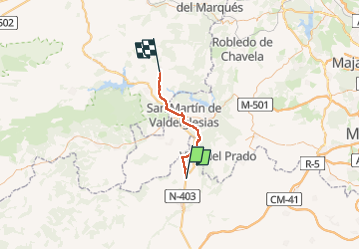
Trail Walking of 39 km to be discovered at Castile-La Mancha, Toledo, Almorox. This trail is proposed by dagobert5612.

Description

camino de levante

Elevation profile

Positioning

Country:
Spain
Region :
Castile-La Mancha
Department/Province :
Toledo
Municipality :
Almorox
Location:
Unknown
Start:(UTM)
381591 ; 4454301 (30T) N.

Trails nearby

Trail On foot Pelayos de la Presa - Ruta del Boquerón - Photo
On foot
PRO

On foot

Easy
Pelayos de la Presa, Community of Madrid, Unknown, Spain
9 km | 10.5 km-effort
2h 22min
No


Close
My subscriptions