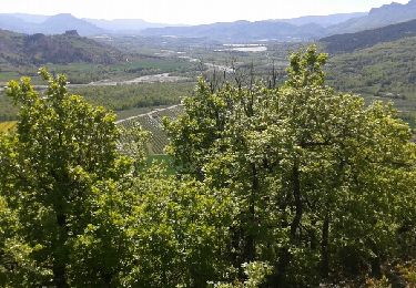
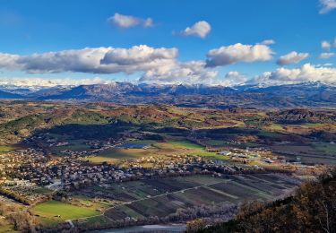
13.3 km | 21 km-effort
chalp
afab05
User
Length
361 m
Max alt
700 m
Uphill gradient
20 m
Km-Effort
607 m
Min alt
665 m
Downhill gradient
14 m
Boucle
Yes
Creation date :
2023-05-16 07:09:45.414
Updated on :
2023-05-16 07:44:11.516
34m
Difficulty : Easy
FREE GPS app for hiking
About
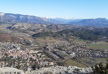
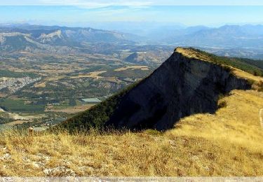
Trail Walking of 361 m to be discovered at Provence-Alpes-Côte d'Azur, Hautes-Alpes, Saléon. This trail is proposed by afab05.
Positioning
Country:
France
Region :
Provence-Alpes-Côte d'Azur
Department/Province :
Hautes-Alpes
Municipality :
Saléon
Location:
Unknown
Start:(Dec)
Start:(UTM)
721241 ; 4910705 (31T) N.
Comments
Trails nearby
SityTrail - PF-Antonaves - Les Gorges de la Méouge
Walking
Medium
(1)
Val-Buëch-Méouge,
Provence-Alpes-Côte d'Azur,
Hautes-Alpes,
France
4h 22min
Yes
CHATEAU NEUF DE CHABRE 05 . Piloubeau , les cretes de Chabre o s
Walking
Difficult
Val-Buëch-Méouge,
Provence-Alpes-Côte d'Azur,
Hautes-Alpes,
France
14.8 km | 24 km-effort
6h 11min
Yes
Laragne 2008
Mountain bike
Difficult
(1)
Laragne-Montéglin,
Provence-Alpes-Côte d'Azur,
Hautes-Alpes,
France
35 km | 47 km-effort
3h 0min
No
CHATEAU NEUF DE CHABRE . PILOUBEAU . SERRE DE LA CROIX O L M S
Walking
Medium
Val-Buëch-Méouge,
Provence-Alpes-Côte d'Azur,
Hautes-Alpes,
France
12.5 km | 18.5 km-effort
3h 25min
Yes
Vieil Arzellier/Vieil Eyguians.21/02/21.
Walking
Easy
Laragne-Montéglin,
Provence-Alpes-Côte d'Azur,
Hautes-Alpes,
France
3.5 km | 4.7 km-effort
59min
No
R31 La Montagne de Chabre
Walking
Very easy
(1)
Val-Buëch-Méouge,
Provence-Alpes-Côte d'Azur,
Hautes-Alpes,
France
2.8 km | 4.6 km-effort
1h 10min
Yes
roche de baume rousse
Walking
Medium
Val-Buëch-Méouge,
Provence-Alpes-Côte d'Azur,
Hautes-Alpes,
France
9.3 km | 14.1 km-effort
3h 37min
Yes
Crête de Chabre via Pomet
Walking
Very difficult
Val-Buëch-Méouge,
Provence-Alpes-Côte d'Azur,
Hautes-Alpes,
France
14.5 km | 23 km-effort
4h 31min
Yes
190423 Tour des gorges de la Méouge
Walking
Very difficult
Val-Buëch-Méouge,
Provence-Alpes-Côte d'Azur,
Hautes-Alpes,
France
31 km | 39 km-effort
5h 47min
No