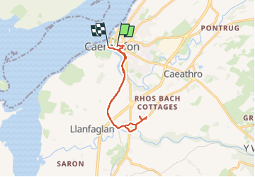


29 km | 63 km-effort


User GUIDE


FREE GPS app for hiking
 SityTrail
IGN / Geographical institutes
SityTrail World
The world is yours!
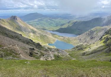
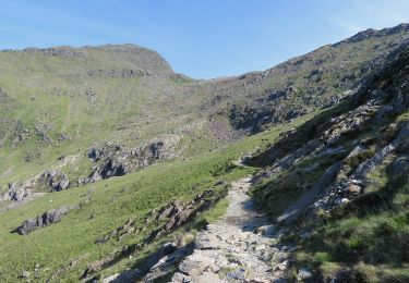
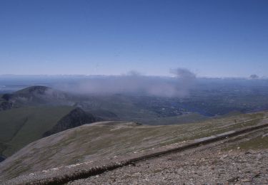
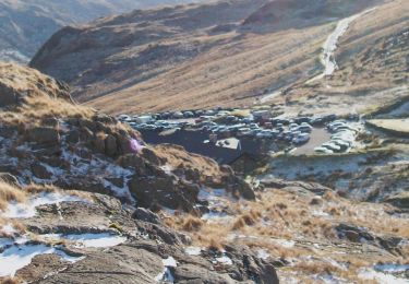
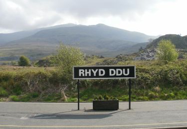
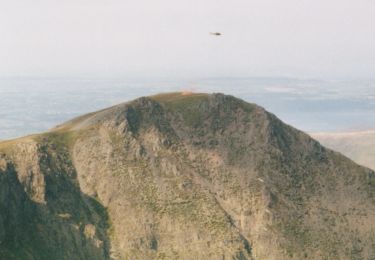
Trail Walking of 10 km to be discovered at Wales, Gwynedd. This trail is proposed by dudu42.
Promenade sur piste cyclable donc attention.Parcours très agréable le long de la voie du train touristique. Végétation avec fougères et fleurs de sous bois. Attention , vers la fin de la moitié du parcours ,si vous n aller pas dans le parc ( payant avec résa en ligne) faire demi-tour dans le hameau car les chemins et routes sont privées.


24 photos in total. Please click on a photo to see them all in the gallery.
On foot