


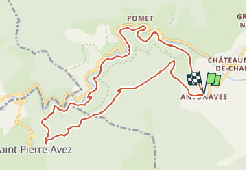

11 km | 17.2 km-effort


User GUIDE


FREE GPS app for hiking
 SityTrail
IGN / Geographical institutes
SityTrail World
The world is yours!
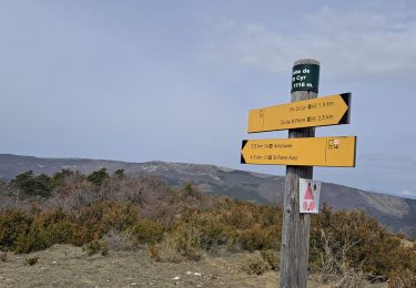
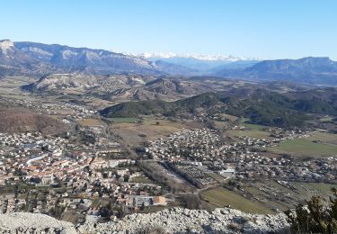
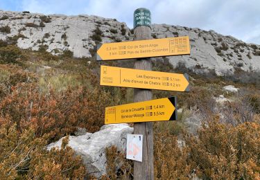
Trail Walking of 11.9 km to be discovered at Provence-Alpes-Côte d'Azur, Hautes-Alpes, Val-Buëch-Méouge. This trail is proposed by Marco05.
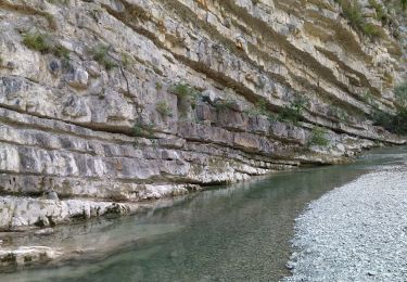
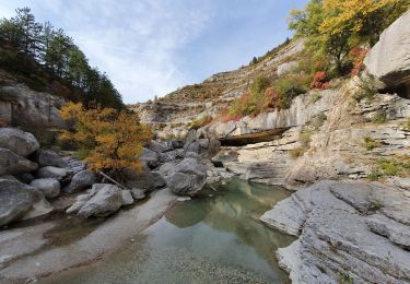
Une belle boucle qui démarre par le sentier très ebgagés qui domine les gorges.
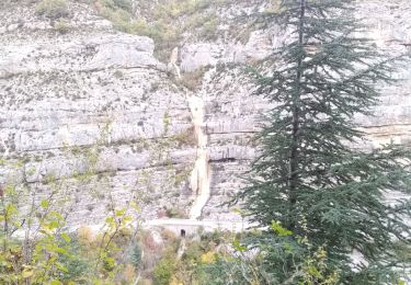
Attention, deux ou trois passages délicats qui demande d'être concentré.
Décpnseillé aux gens ayant le vertige.


Walking
Walking
Walking
Walking
Walking

Walking
Walking
Walking
Walking