


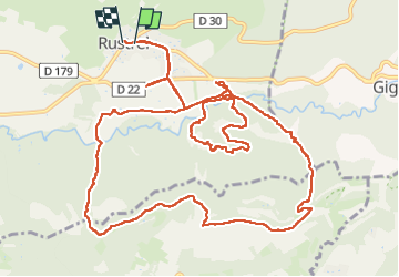


7.2 km | 8.9 km-effort

User


FREE GPS app for hiking
 SityTrail
IGN / Geographical institutes
SityTrail World
The world is yours!
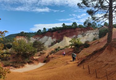
Trail Walking of 17.2 km to be discovered at Provence-Alpes-Côte d'Azur, Vaucluse, Rustrel. This trail is proposed by Christiancordin.
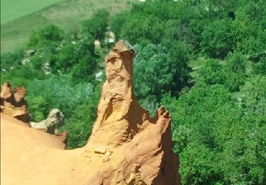
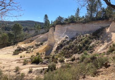
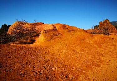
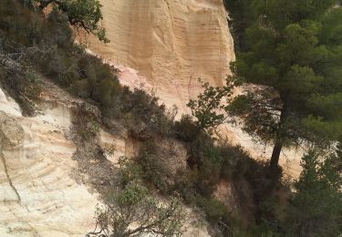
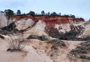
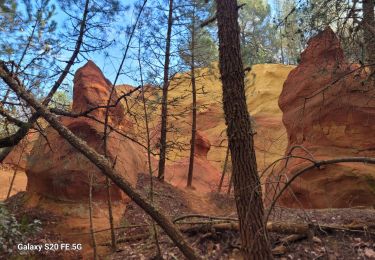
Rustrel-visite du Colorado de Rustrel-GR 6-GRP autour du Lubéron et des monts de Vaucluse-ubac de Pradenques-le Grand Plan-ravin de la Fédo Morto


Walking
Walking
Walking

Walking
Walking
Walking
Walking
Walking
Walking