


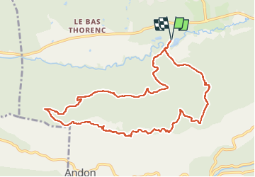

14.7 km | 19.9 km-effort


User


FREE GPS app for hiking
 SityTrail
IGN / Geographical institutes
SityTrail World
The world is yours!
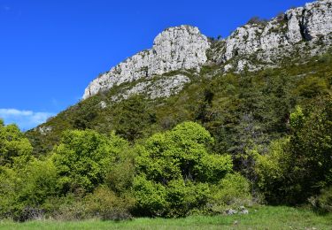
Trail Walking of 12 km to be discovered at Provence-Alpes-Côte d'Azur, Maritime Alps, Andon. This trail is proposed by boulinevelyne.
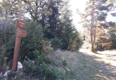
P au Lac de Thorenc.
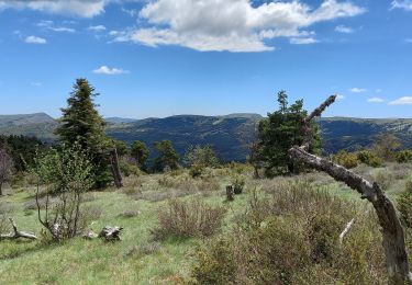
Belle montée de 30' le matin.
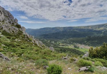
Après le col de Baïsse (1320 m), nombreuses Pivoines en fleurs en ce début Mai !
Petite montée de 15' l'après-midi.


Walking

Walking
Walking
Walking
Walking
Walking
Walking
Walking
Walking