


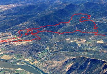
17.3 km | 26 km-effort

Se changer l'esprit en découvrant la nature


FREE GPS app for hiking
 SityTrail
IGN / Geographical institutes
SityTrail World
The world is yours!
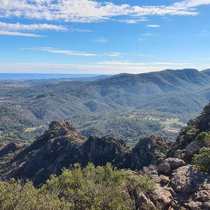
Trail On foot of 11.3 km to be discovered at Provence-Alpes-Côte d'Azur, Var, Puget-sur-Argens. This trail is proposed by Rima 83.
Belle rando Foret domaniale la Bouverie de la colle de Rouet

Walking
Walking

Walking

Walking

Mountain bike

Walking

On foot

Walking
Walking