11.3 km | 15.2 km-effort
laifour 2
grmb
User
Length
13.8 km
Max alt
395 m
Uphill gradient
576 m
Km-Effort
21 km
Min alt
126 m
Downhill gradient
556 m
Boucle
No
Creation date :
2023-05-09 11:35:34.201
Updated on :
2023-05-09 15:49:31.161
4h13
Difficulty : Very difficult
FREE GPS app for hiking
About
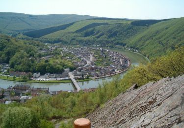
Trail Walking of 13.8 km to be discovered at Grand Est, Ardennes, Laifour. This trail is proposed by grmb.
Positioning
Country:
France
Region :
Grand Est
Department/Province :
Ardennes
Municipality :
Laifour
Location:
Unknown
Start:(Dec)
Start:(UTM)
621450 ; 5529981 (31U) N.
Comments
Trails nearby
La Vallée de la Faux et les Roches de l'Empereur
Walking
Medium
(1)
Les Mazures,
Grand Est,
Ardennes,
France
3h 0min
Yes
De Monthermé à Bogny sur Meuse par les sentiers de crêtes
Walking
Difficult
(2)
Monthermé,
Grand Est,
Ardennes,
France
14.6 km | 23 km-effort
5h 0min
Yes
Laifour-Montherme
Walking
Difficult
(1)
Revin,
Grand Est,
Ardennes,
France
21 km | 30 km-effort
8h 8min
No
La roche 7H Monthermé
Walking
Medium
Monthermé,
Grand Est,
Ardennes,
France
5.9 km | 9 km-effort
2h 24min
Yes
les woiries mercredi
Walking
Medium
Monthermé,
Grand Est,
Ardennes,
France
9.6 km | 12.7 km-effort
3h 37min
No
Monthermé 22,7 km tour des rochers
Walking
Difficult
Monthermé,
Grand Est,
Ardennes,
France
23 km | 36 km-effort
8h 20min
Yes
de Layfour à Anchamps
Walking
Very difficult
Revin,
Grand Est,
Ardennes,
France
15.2 km | 20 km-effort
4h 1min
No
AUTOUR DE MONTHERMÉ, la boucle de la Meuse
Walking
Very difficult
Monthermé,
Grand Est,
Ardennes,
France
14.9 km | 24 km-effort
5h 5min
Yes