


8 km | 15.4 km-effort


User


FREE GPS app for hiking
 SityTrail
IGN / Geographical institutes
SityTrail World
The world is yours!
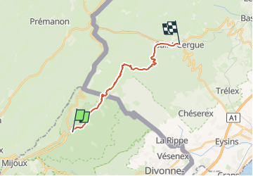
Trail Walking of 15 km to be discovered at Auvergne-Rhône-Alpes, Ain, Mijoux. This trail is proposed by DanielROLLET.
2023 05 07 - 8h50 à 15h00
Temps couvert et frais, pas de pluie
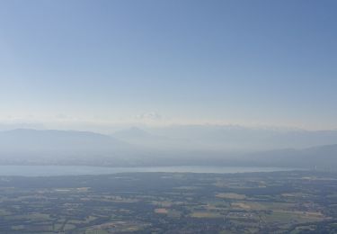
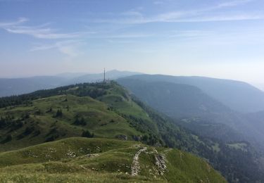
Pique-nique au chalet des apprentis (superbe panorama sur le chalet de la Dôle et sur les falaises en dessous de la Dôle
Fait le choix (à tort) de descendre par le circuit de l'Archette (15mn court) au lieu du circuit du Vieux Château
Quelques deltas entre la trace et le tracé sur la carte en Suisse.
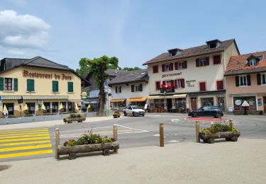
Superbe chambre d'hôtes à Saint Cergue (une suite pour 120,00€ quand-même)
18 770m 700m si départ col de la Faucille

On foot

Running

Walking
Bicycle tourism
Snowshoes
Walking
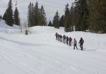
Snowshoes

Snowshoes
Walking