


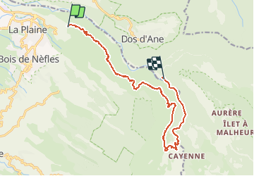

8.3 km | 18.2 km-effort


User


FREE GPS app for hiking
 SityTrail
IGN / Geographical institutes
SityTrail World
The world is yours!
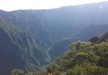
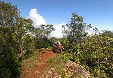
Trail Walking of 19.5 km to be discovered at Réunion, Unknown, Saint-Paul. This trail is proposed by domho974.
Sans soucis - Deux Bras Départ 8 heures canalisation des orangers. 8h 50 début de la canalisation. 13 h 15 les lataniers. Départ latanier 13 h 40 arrivée deux Bras 15 h 50

Walking

Walking
Walking
Walking
Walking
Walking

Walking
Walking