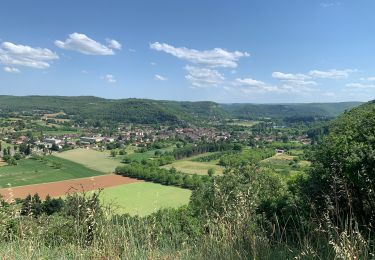
27 km | 34 km-effort
Reco 2eme partir
jaboin
User
Length
73 km
Max alt
403 m
Uphill gradient
1856 m
Km-Effort
98 km
Min alt
146 m
Downhill gradient
1989 m
Boucle
No
Creation date :
2023-05-07 08:56:37.0
Updated on :
2023-05-07 12:15:49.505
2h36
Difficulty : Unknown
FREE GPS app for hiking
About
Trail Motorbike of 73 km to be discovered at Occitania, Lot, Planioles. This trail is proposed by jaboin.
Positioning
Country:
France
Region :
Occitania
Department/Province :
Lot
Municipality :
Planioles
Location:
Unknown
Start:(Dec)
Start:(UTM)
422087 ; 4944395 (31T) N.
Comments
Trails nearby
Etape13 Figeac a Carjac
Walking
Difficult
Figeac,
Occitania,
Lot,
France
32 km | 42 km-effort
7h 40min
No
CC_Velay_CC_12_Figeac_Cajarc_20071103
Walking
Medium
(1)
Figeac,
Occitania,
Lot,
France
30 km | 39 km-effort
7h 0min
No
La Cazelle-Camburat-Mouret-La Cazelle
Equestrian
Easy
(1)
Lissac-et-Mouret,
Occitania,
Lot,
France
13.9 km | 17.5 km-effort
2h 43min
Yes
20240418 Figeac (hôtel les Bains)-Rian (les ânes du Célé)
sport
Very easy
Figeac,
Occitania,
Lot,
France
24 km | 31 km-effort
Unknown
No
étang des sagnes
Walking
Medium
Cardaillac,
Occitania,
Lot,
France
12.7 km | 17.3 km-effort
3h 8min
Yes
Carcaillât sagnes
Walking
Very easy
Cardaillac,
Occitania,
Lot,
France
4.9 km | 6.9 km-effort
1h 16min
Yes
Figeac - Corn - Chemin de St-Jacques de Compostelle
Walking
Difficult
Figeac,
Occitania,
Lot,
France
18.4 km | 23 km-effort
3h 0min
No
Restaurant, à Fijac Compostelle deux
sport
Very easy
Figeac,
Occitania,
Lot,
France
3.3 km | 3.9 km-effort
Unknown
No